
Discover Skerries in Ireland
Skerries in the region of Leinster with its 10,014 habitants is a town located in Ireland - some 18 mi or ( 29 km ) North of Dublin , the country's capital .
Local time in Skerries is now 06:03 AM (Friday) . The local timezone is named " Europe/Dublin " with a UTC offset of 0 hours. Depending on your flexibility, these larger cities might be interesting for you: Manchester, Liverpool, Lisburn, Glasgow, and Edinburgh. When in this area, you might want to check out Manchester . We found some clip posted online . Scroll down to see the most favourite one or select the video collection in the navigation. Are you looking for some initial hints on what might be interesting in Skerries ? We have collected some references on our attractions page.
Videos
Skerries Holiday
Taken around Skerries Co Dublin on one day in the summer of 2003. ..
Skerries St Patrick's Day Parade 2009
Recorded by the Monument on Strand St. ..
TMG Cycles Shop Skerries - Cycle to Work Scheme Dublin
Tax free bikes for Work - TMG Cycles Skerries Dublin is a partner Bike Shop with Bike to Work and is an active participant in the Cycle to Work Scheme. In the 2008 budget the Minister for the Environm ..
A stroll around Skerries, Co.Dublin
Myself and my brother are in training for the Gaelforce event in Mayo in August. So, last weekend we did a 14km loop in north Co.Dublin finishing off in Skerries. Despite our exhaustion we managed to ..
Videos provided by Youtube are under the copyright of their owners.
Interesting facts about this location
Skerries Harps GAA
Skerries Harps is a Gaelic Athletic Association club based in Skerries, County Dublin, Ireland, playing Gaelic football, hurling and camogie. Notable ex-players include Bobby Beggs, Paddy Ellis. Dublin GAA superstar Bryan Cullen is a current player. The club is located on the Dublin Road in Skerries with a main pitch and club house at this location. The club has just under 40 teams competing at all levels in football, hurling, camogie and ladies football.
Located at 53.58 -6.11 (Lat./Long.); Less than 1 km away
Colt Island
Colt Island (Irish: Inis Coilt, meaning "Colt Island") is the closest and smallest of three low-lying, uninhabited islets off the headland of Skerries, County Dublin in Ireland. It is an island of low cliffs and lies about 0.5 km from the mainland, with vegetation consisting of grasses, brambles and other species such as hogweed. Like the other two Skerries Islands, it is important for breeding seabirds and wintering water fowl.
Located at 53.58 -6.08 (Lat./Long.); Less than 2 km away
Shenick Island
Shenick Island or Shenick's Island (Irish: Oileán na Sionnach, meaning "fox island") is an island that lies east of Skerries, County Dublin, Ireland. It is populated only by seals, that harbour on the western side of the island and a few different species of seabirds nest there. It may be reached by boat but at low tide you can reach it by crossing a sand bank. The most prominent feature on Shenick Island is a Martello tower. It is possible to climb into this with some effort.
Located at 53.57 -6.08 (Lat./Long.); Less than 2 km away
St Patrick's Island
St Patrick's Island (Irish: Inis Pádraig, meaning "St Patrick's Island") is the most distant of three low-lying uninhabited islets off the headland of Skerries, County Dublin in Ireland. It is an island of low cliffs and lies about 1.5 km from the mainland, with vegetation consisting of grasses, brambles and other species such as hogweed. It is the most important of the three islands for breeding seabirds. Cormorant, Shag and Herring Gull are the most prominent species.
Located at 53.59 -6.07 (Lat./Long.); Less than 2 km away
Ardgillan Castle
Ardgillan Castle is a country house in Balbriggan, Fingal, Ireland. It is set in the 200-acre Ardgillan Demesne. Featuring castellated embellishments, the building overlooks Barnageera Beach, the Irish Sea and Balbriggan. The castle consists of two storeys over a basement, which extends under the south lawns. When occupied, the ground and first floors were the living accommodation while the west and east wings were servants quarters and estate offices.
Located at 53.59 -6.16 (Lat./Long.); Less than 3 km away
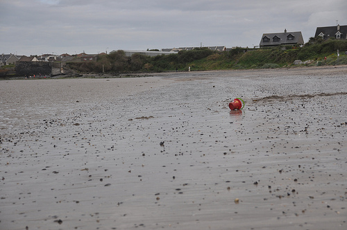
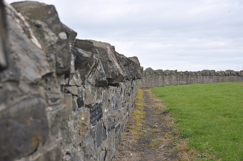
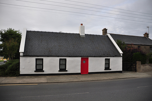
Pictures
Related Locations
Information of geographic nature is based on public data provided by geonames.org, CIA world facts book, Unesco, DBpedia and wikipedia. Weather is based on NOAA GFS.