-
You are here:
- Homepage »
- Netherlands »
- Utrecht » Maartensdijk

Maartensdijk Destination Guide
Discover Maartensdijk in Netherlands
Maartensdijk in the region of Utrecht is a town located in Netherlands - some 19 mi or ( 31 km ) South-East of Amsterdam , the country's capital .
Local time in Maartensdijk is now 01:38 AM (Friday) . The local timezone is named " Europe/Amsterdam " with a UTC offset of 1 hours. Depending on your flexibility, these larger cities might be interesting for you: Zeist, Weesp, Utrecht, The Hague, and Nieuwe-Wetering. When in this area, you might want to check out Zeist . We found some clip posted online . Scroll down to see the most favourite one or select the video collection in the navigation. Are you looking for some initial hints on what might be interesting in Maartensdijk ? We have collected some references on our attractions page.
Videos
Piper Archer startup
Walking through the startup checklist in a Piper Archer based in Hilversum, Netherlands. ..
South (Moten/Hayes/Ray Charles) - The Rainy City Seven
One of the first lyrics Ray Charles wrote in 1947. Famous by Clancy Hayes and Bob Scobey's Frisco Jazz Band. Recorded in 1959 by The Rainy City Seven in Hotel De Schouw in Bilthoven (Netherlands). Jel ..
Opening Cruyff court De Bilt met Soufiane Touzani
Op zaterdag 27 november 2011 is het Cruyff court aan de Buys Ballotweg in De Bilt geopend. Na het officiële startschot gaf balkunstenaar Soufiane Touzani een korte demonstratie. ..
Bicycle trip: De Bilt Groenekan Maartensdijk H'Rading Hilversum L'Vuursche Soest Soesterberg Zeist
Bicycle trip: De Bilt - Groenekan - Maartensdijk - Hollandsche Rading - Hilversum - Lage Vuursche - Soest - Soesterberg - Zeist. Watch in 480p if the video does not work in 720p! The short tag for thi ..
Videos provided by Youtube are under the copyright of their owners.
Interesting facts about this location
Bilthoven
Bilthoven is a village in the Dutch province of Utrecht. It is a part of the municipality of De Bilt. It has a railway station with connections to Utrecht, Amersfoort and Baarn. It is home to the Netherlands National Institute for Public Health and the Environment, RIVM; and to the Union Mundial pro Interlingua, UMI, which promotes Interlingua internationally. The statistical area "Bilthoven", which also can include the surrounding countryside, has a population of around 17560.
Located at 52.13 5.20 (Lat./Long.); Less than 3 km away
Drakesteijn
Drakesteijn or Drakestein is a small castle at 9 Slotlaan in the hamlet of Lage Vuursche, in the municipality of Baarn. The owner is Queen Beatrix of the Netherlands. Beatrix bought the castle in 1959, when she was the Crown Princess, and took up residence in 1963. After her marriage in 1966 she continued to live there with her husband, Prince Claus and later their three sons as well.
Located at 52.18 5.23 (Lat./Long.); Less than 4 km away
Den Dolder
Den Dolder is a town in the Dutch province of Utrecht. It is a part of the municipality of Zeist, and lies about 4 km northeast of Bilthoven. Den Dolder has a railway station on the route between Amersfoort and Utrecht and is best known for its mental institutions such as Dennendal and the Willem Arntz Hoeve.
Located at 52.13 5.23 (Lat./Long.); Less than 5 km away
Nieuw-Loosdrecht
Nieuw-Loosdrecht is a town in the Dutch province of North Holland. It is a part of the municipality of Wijdemeren, and lies about 4 km southwest of Hilversum. Nieuw-Loosdrecht has a population of around 9000.
Located at 52.20 5.13 (Lat./Long.); Less than 6 km away
Utrecht (province)
Utrecht is the smallest province of the Netherlands in terms of area, and is located in the centre of the country. It is bordered by the Eemmeer in the north, Gelderland in the east, the river Rhine in the south, South Holland in the west, and North Holland in the northwest. Utrecht makes up one region of the International Organization for Standardization world region code system, having the code ISO 3166-2:NL-UT.
Located at 52.10 5.18 (Lat./Long.); Less than 6 km away
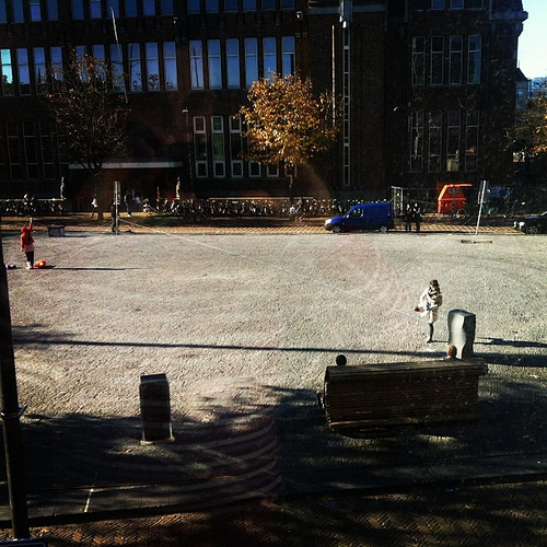
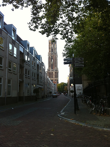
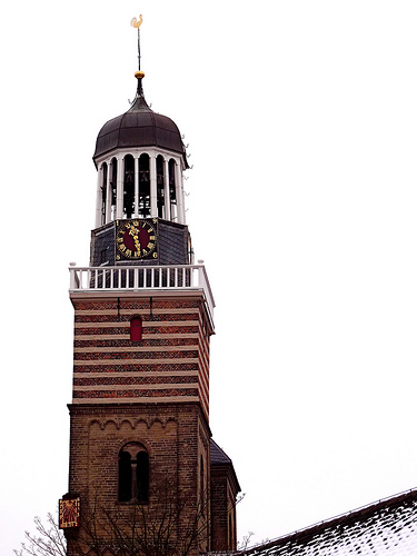
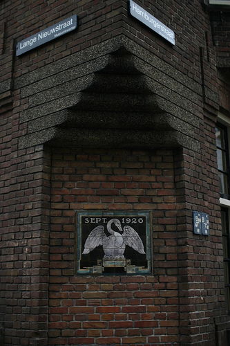
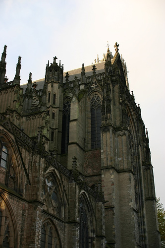
Pictures


Historical Weather
Related Locations
Information of geographic nature is based on public data provided by geonames.org, CIA world facts book, Unesco, DBpedia and wikipedia. Weather is based on NOAA GFS.