-
You are here:
- Homepage »
- New Zealand »
- West Coast » Hokitika

Hokitika Destination Guide
Delve into Hokitika in New Zealand
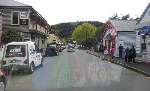
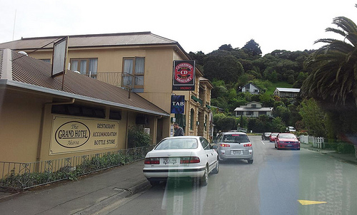
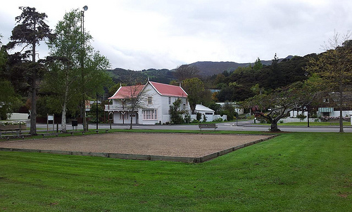
Hokitika in the region of West Coast with its 3,401 residents is a city in New Zealand - some 219 mi or ( 353 km ) South-West of Wellington , the country's capital .
Current time in Hokitika is now 12:19 PM (Saturday) . The local timezone is named " Pacific/Auckland " with a UTC offset of 13 hours. Depending on your travel modalities, these larger destinations might be interesting for you: Wellington, Stafford, Ruatapu, Richmond, and New Plymouth. While being here, make sure to check out Wellington . Are you curious about the possible sightseeing spots and facts in Hokitika ? We have collected some references on our attractions page.
Videos
Videos provided by Youtube are under the copyright of their owners.
Interesting facts about this location
Hokitika
Hokitika is a township in the West Coast Region of New Zealand's South Island, 40 kilometres south of Greymouth, and close to the mouth of the Hokitika River. According to the 2006 census, the usually-resident population of the Hokitika urban area was 3,078, a decrease of 12 people since 2001. A further 828 people live in the surrounding area, an increase of 180 since 2001. On a clear day Aoraki / Mount Cook can clearly be seen from Hokitika's main street.
Located at -42.72 170.97 (Lat./Long.); Less than 0 km away
Hokitika River
The Hokitika River is in the West Coast of the South Island of New Zealand. It is about 64 kilometers long, beginning in the Southern Alps and flowing into the Tasman Sea next to the town of Hokitika. The Hokitika River, and its eastern tributary, the Kokatahi River, have formed the Kowhitirangi-Kokatahi alluvial plain; a fertile and productive land extensively used for dairy farming.
Located at -42.72 170.95 (Lat./Long.); Less than 1 km away
Hokitika Airport
Hokitika Aerodrome is a small, uncontrolled aerodrome located 1 NM (1.9 km) north east of Hokitika in the suburb of Seaview on the West Coast of the South Island of New Zealand. It is also the closest domestic airport with scheduled flights to Greymouth 40 km further north, the largest settlement on the coast. The airport handles aircraft up to ATR 72-500 size that are operated by national airline, Air New Zealand. The busiest day is Friday with five flights to Christchurch.
Located at -42.71 170.99 (Lat./Long.); Less than 2 km away
Kaniere River
The Kaniere River is a river of New Zealand. It is located in the West Coast Region of the South Island. The river is the outflow of Lake Kaniere, and flows west to reach the Hokitika River five kilkometres from the coast of the Tasman Sea.
Located at -42.75 171.02 (Lat./Long.); Less than 6 km away
Arahura River
The Arahura River is a river located on the West Coast of the South Island of New Zealand. It is approximately 56 kilometers in length and flows into the Tasman Sea eight kilometers north of Hokitika, next to the Arahura Pa. The lower reaches of the Arahura River was a major producer of gold in the past - and extensively mined, but it is now worked out. It is also a major source of pounamu (greenstone) for the local Māori.
Located at -42.67 171.03 (Lat./Long.); Less than 8 km away
Pictures


Historical Weather
Related Locations

Information of geographic nature is based on public data provided by geonames.org, CIA world facts book, Unesco, DBpedia and wikipedia. Weather is based on NOAA GFS.