-
You are here:
- Homepage »
- United Kingdom »
- England » Bacup

Bacup Destination Guide
Explore Bacup in United Kingdom
Bacup in the region of England with its 13,047 inhabitants is a town in United Kingdom - some 175 mi or ( 281 km ) North-West of London , the country's capital city .
Current time in Bacup is now 04:07 AM (Friday) . The local timezone is named " Europe/London " with a UTC offset of 0 hours. Depending on the availability of means of transportation, these more prominent locations might be interesting for you: Sheffield, Shawforth, Rochdale, Rawtenstall, and Oxford. Since you are here already, make sure to check out Sheffield . We saw some video on the web . Scroll down to see the most favourite one or select the video collection in the navigation. Where to go and what to see in Bacup ? We have collected some references on our attractions page.
Videos
Bury to Bacup train 1966 - full journey.
As yootube now allow longer videos, I've edited the four together and hopefully it's a bit better quality too - Viewable full screen and well worth doing so.. Happy (time) travelling! ..
The Britannia Coconutters Dance, Easter Saturday 2012, Bacup, Lancashire, England
The Britannia Coconutters do their famous clog dance from morning til dusk all round their home town of Bacup in Lancashire, England every Easter Saturday. The custom of blackened faces is said to com ..
Merry Xmas from homeless Geoff Jackson's xmas song 2012 sad music video
Sad MUSIC VIDEO of homeless man and daughter at Christmas. Xmas on the streets is anything but merry. Geoff Jackson brings you this Christmas song with Ella Brannigan (his grandaughter) highlighting t ..
28-01-06 45407 Cornholme
The train is the "Bradford Residential" and perhaps I should have gone to Bradford and got that one-off climb out of the city instead of coming here! You win some, you lose some! ..
Videos provided by Youtube are under the copyright of their owners.
Interesting facts about this location
Bacup
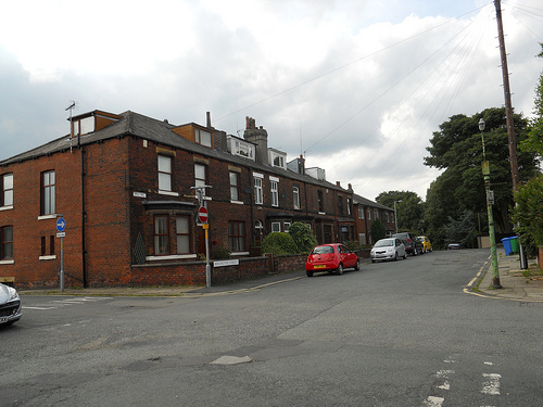
Bacup is a town within the Rossendale borough of Lancashire, England. It is located amongst the South Pennines, along Lancashire's eastern boundary with West Yorkshire. The town sits within a rural setting in the Forest of Rossendale, amongst the steep-sided upper-Irwell Valley, through which the River Irwell passes. It is 3.5 miles east of Rawtenstall, 6.4 miles north of Rochdale, and 21 miles east of Preston.
Located at 53.70 -2.20 (Lat./Long.); Less than 0 km away
Sharneyford
Sharneyford is a hamlet in Lancashire, on the A681 road between Bacup and Todmorden. It is home to one of the smallest schools in Britain, Sharneyford Primary School. Sharneyford Mill, located north of the school, was once the highest in England, at around 1,250 feet above sea level; it has now been demolished.
Located at 53.72 -2.18 (Lat./Long.); Less than 2 km away
Rossendale (UK Parliament constituency)
Rossendale was a parliamentary constituency in the Lancashire, England. Created in 1885, it elected one Member of Parliament (MP) to the House of Commons of the Parliament of the United Kingdom, elected by the first-past-the-post voting system. When created it comprised the districts of Rawtenstall, Bacup, and Haslingden; Ramsbottom district was added to the constituency in 1950.
Located at 53.71 -2.24 (Lat./Long.); Less than 3 km away
Rossendale and Darwen (UK Parliament constituency)
Rossendale and Darwen is a constituency represented in the House of Commons of the UK Parliament since 2010 by Jake Berry, a Conservative.
Located at 53.71 -2.24 (Lat./Long.); Less than 3 km away
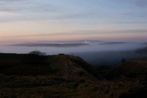
Rossendale Forest
The Rossendale Forest is the area of hills in Lancashire, England between the Manchester basin and the upper Ribble valley. Despite its name it is largely open country and moorland.
Located at 53.72 -2.24 (Lat./Long.); Less than 3 km away
Pictures
Related Locations
Information of geographic nature is based on public data provided by geonames.org, CIA world facts book, Unesco, DBpedia and wikipedia. Weather is based on NOAA GFS.