-
You are here:
- Homepage »
- United Kingdom »
- England » Bardon Mill

Bardon Mill Destination Guide
Explore Bardon Mill in United Kingdom
Bardon Mill in the region of England is a place in United Kingdom - some 256 mi or ( 413 km ) North of London , the country's capital city .
Time in Bardon Mill is now 07:11 AM (Monday) . The local timezone is named " Europe/London " with a UTC offset of 0 hours. Depending on your budget, these more prominent locations might be interesting for you: York, Wark, Studdon, Simonburn, and Sheffield. Since you are here already, consider visiting York . We saw some hobby film on the internet . Scroll down to see the most favourite one or select the video collection in the navigation. Where to go and what to see in Bardon Mill ? We have collected some references on our attractions page.
Videos
Exposure: Why Do You Shoot? - Living Exposed Photography Project
Do you find yourself... looking? Exploring ancient Roman fortifications in the English countryside, this short film announces Exposure: Hawai'i, the first in a series of collaborative photographic pro ..
Hadrian's Wall Challenge Hike - Scouts 2007 (slides)
James & Geraint from 1st Bwlchgwyn doing the first Hadrian's Wall Challenge Hike They Managed to walk 16 miles on the Wall, which considering the weather on the Saturday was pretty good going. ..
England Schottland 5: Hadrianswall und Fahrt nach Peebles
Hadrianswall und Fahrt nach Peebles ..
Colin 'Diamond Jubilee Beacon Firestarter' Heseltine
He's a Diamond geezer doing his bit for the Queen - Housesteads Roman Fort Hadrian's Wall 10.12pm 5th June 2012 ..
Videos provided by Youtube are under the copyright of their owners.
Interesting facts about this location
A69 road
The A69 is a major road in northern England, running east-west across the Pennines, through the counties of Tyne and Wear, Northumberland and Cumbria. Originally the road started in Blaydon, but since the creation of the A1 Western Bypass around Newcastle upon Tyne, it now starts at Denton Burn a suburb of Newcastle upon Tyne. The road runs up the Tyne valley, bypassing the village of Corbridge and the market town Hexham.
Located at 54.98 -2.33 (Lat./Long.); Less than 1 km away
Crag Lough
Crag Lough is an inland lake at the southern edge of Northumberland National Park, 2.5 miles north of Bardon Mill, and 0.5 miles north of the B6318 Military Road road in Northumberland, northern England. At this point Hadrian's Wall is at the top of a line of crags with Crag Lough at the foot of the crags. Crag Lough 240px Location Northumberland Group Roman Wall Loughs Coordinates coord}}{{#coordinates:55.006|-2.366|region:GB_type:waterbody name=Crag Lough }} Basin countries United Kingdom
Located at 55.01 -2.37 (Lat./Long.); Less than 4 km away
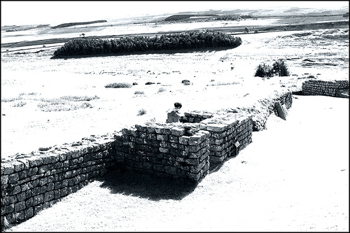
Milecastle 39
Milecastle 39, also known as Castle Nick, is a Roman fortification along Hadrian's Wall. Milecastle 39 was partly excavated by archaeologists in the 19th century, and more fully in the 1980s by conservation workers. The milecastle measures 19m long by 15.5m across with stone walls standing 1.75m high. The excavations in the mid-1980s revealed that barracks blocks that were initially built inside the milecastle had later been replaced by small individual buildings.
Located at 55.00 -2.38 (Lat./Long.); Less than 4 km away
Greenlee Lough
Greenlee Lough is a lough or lake and National Nature Reserve 3 miles north of Bardon Mill, and 1.5 miles north of the B6318 road in Northumberland, northern England.
Located at 55.02 -2.35 (Lat./Long.); Less than 5 km away
Stanegate
The Stanegate, or "stone road", was an important Roman road built in what is now northern England. It linked two forts that guarded important river crossings; Corstopitum in the east, situated on Dere Street, and Luguvalium in the west. The Stanegate ran through the natural gap formed by the valleys of the Tyne and Irthing.
Located at 55.01 -2.28 (Lat./Long.); Less than 5 km away
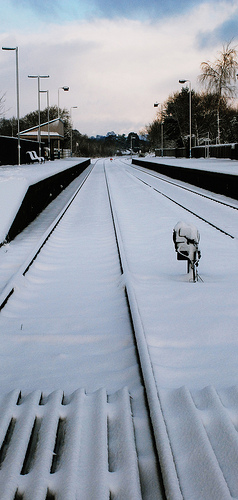
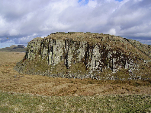
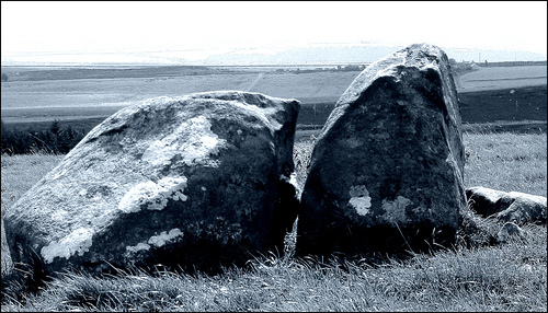
Pictures

Related Locations
Information of geographic nature is based on public data provided by geonames.org, CIA world facts book, Unesco, DBpedia and wikipedia. Weather is based on NOAA GFS.