-
You are here:
- Homepage »
- United Kingdom »
- England » Par

Par Destination Guide
Delve into Par in United Kingdom
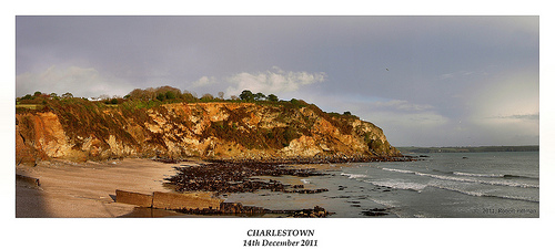
Par in the region of England with its 9,462 residents is located in United Kingdom - some 215 mi or ( 346 km ) West of London , the country's capital .
Local time in Par is now 10:22 PM (Thursday) . The local timezone is named " Europe/London " with a UTC offset of 0 hours. Depending on your mobility, these larger destinations might be interesting for you: Warleggan, Truro, Torquay, Swansea, and Sheffield. While being here, you might want to check out Warleggan . We discovered some clip posted online . Scroll down to see the most favourite one or select the video collection in the navigation. Are you curious about the possible sightseeing spots and facts in Par ? We have collected some references on our attractions page.
Videos
City of Truro Steam Engine at Bodmin & Wenford Railway
August 2004 at Bodmin Parkway Station in Cornwall UK. Visting steam engine City of Truro at the Bodmin and Wenford Railway. ..
Par Sands Holiday Park
My Holiday in Par Sands Holiday Park ..
104 School Bus Journey To Fowey Community College
(VIDEO-002) ..
(HD)Great Railway Journey 70013 Oliver Cromwell 1z27 THE CORNISHMAN part 4 19th May 2012
(HD) Great Railway Journey 70013 Oliver Cromwell running fast on 1z27 EXPRESS STEAM TRAIN RIDE part 4. 19th May 2012 we depart Plymouth and head down into Cornwall crossing the Famous Isambard Kingdom ..
Videos provided by Youtube are under the copyright of their owners.
Interesting facts about this location
St Blazey engine shed
St Blazey Engine Shed is located in Par, Cornwall, United Kingdom. The depot operator is DB Schenker. It is named after the adjacent village of St Blazey and has the depot code is BZ.
Located at 50.35 -4.71 (Lat./Long.); Less than 0 km away
St Blazey A.F.C
St Blazey Association Football Club is an English football club based in St Blazey, Cornwall. They compete at the tenth level of the English football league system, as a member of the South West Peninsula League Premier Division. The club was formed in 1896 as a Junior side, attaining Senior status in 1910.
Located at 50.36 -4.71 (Lat./Long.); Less than 1 km away
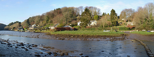
Lanescot
Lanescot is a village in Cornwall, England, United Kingdom. It is in a former mining area, about four miles (6 km) east-northeast of St Austell and four miles (6 km) west-northwest of Fowey. Lanescot is recorded in the Domesday Book as Lisnestoch. The Saints' Way long distance footpath passes through Lanescot.
Located at 50.37 -4.70 (Lat./Long.); Less than 2 km away
Prideaux Castle
Prideaux Castle is a quadrivallate Iron Age hillfort situated atop a 133 m (435 ft) high conical hill near the southern boundary of the parish of Luxulyan, Cornwall, in the United Kingdom. It is also sometimes referred to as Prideaux Warren, Prideaux War-Ring, or Prideaux Hillfort. This site should not be confused with the historically linked, but quite distinct Elizabethan stately home called Prideaux Place, in Padstow, Cornwall.
Located at 50.37 -4.73 (Lat./Long.); Less than 2 km away
Carlyon Bay
For the parish council see Carlyon Carlyon Bay (Cornish: Caryones, meaning forts) is a bay and beach in St Austell on the south coast of Cornwall, England, United Kingdom. It is located approximately 2 miles east of the town centre. Between 1920 and the Second World War, Carlyon Bay was the site of the New Cornish Riviera Lido and large sports facilities. After the war it became known as the Cornish Leisure World.
Located at 50.34 -4.73 (Lat./Long.); Less than 2 km away
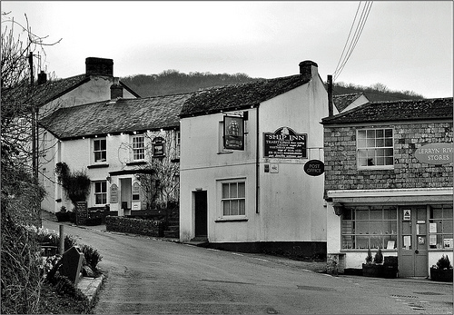
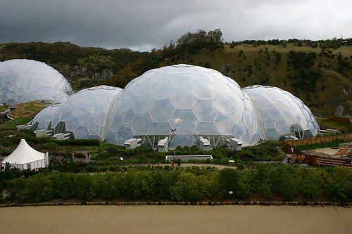
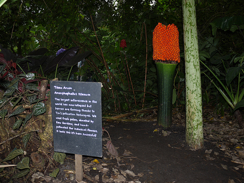
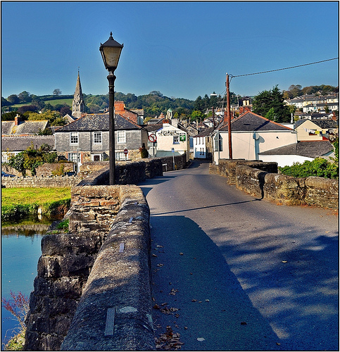
Pictures
Related Locations
Information of geographic nature is based on public data provided by geonames.org, CIA world facts book, Unesco, DBpedia and wikipedia. Weather is based on NOAA GFS.