-
You are here:
- Homepage »
- United Kingdom »
- England » Lostwithiel

Lostwithiel Destination Guide
Delve into Lostwithiel in United Kingdom
Lostwithiel in the region of England with its 2,660 residents is located in United Kingdom - some 212 mi or ( 341 km ) West of London , the country's capital .
Local time in Lostwithiel is now 03:30 AM (Monday) . The local timezone is named " Europe/London " with a UTC offset of 0 hours. Depending on your mobility, these larger destinations might be interesting for you: Warleggan, Truro, Torquay, Temple, and Swansea. While being here, you might want to check out Warleggan . We discovered some clip posted online . Scroll down to see the most favourite one or select the video collection in the navigation. Are you curious about the possible sightseeing spots and facts in Lostwithiel ? We have collected some references on our attractions page.
Videos
Western Soundscape 2. More Class 52s at Bodmin 1975
...More Maybach Melodies from my day spotting 'Western' diesel-hydraulics at Bodmin Road station. 14th August 1975. The Cornish main-line was still dominated by the whizzos at that time but their comm ..
Par Sands Holiday Park
My Holiday in Par Sands Holiday Park ..
Quick Trip Down The River
Trip from Lostwithiel to Golant on the river Fowey ..
Railmotor 93 plus 4247 Bodmin (BWR) Clips 131012
Clips taken whilst at and near Bodmin Parkway station, on 13 Oct,2012. Part of the Railmotor weekend at Bodmin and Wenford Railway.I had intended to take clips of the Auto Coach and the Railmotor but ..
Videos provided by Youtube are under the copyright of their owners.
Interesting facts about this location
St Bartholomew's Church, Lostwithiel
St Bartholomew's Church is a parish church of the Church of England in Lostwithiel, Cornwall, UK.
Located at 50.41 -4.67 (Lat./Long.); Less than 0 km away
Battle of Lostwithiel
The Battles of Lostwithiel or Lostwithiel Campaign, took place near Lostwithiel and Fowey during the First English Civil War in 1644. After defeating the Army of Sir William Waller at the Battle of Cropredy Bridge, King Charles marched west in pursuit of the Parliamentarian army of the Earl of Essex, who was invading the Royalist stronghold of Cornwall. Essex had been misled into believing that he could expect substantial support from the people of Cornwall.
Located at 50.41 -4.67 (Lat./Long.); Less than 0 km away
Lostwithiel Stannary Palace
The Stannary Palace, circa 1265–1300, is reputed to be the oldest non-ecclesiastical building in Cornwall and was said to have been built as a replica of the Great Hall of Westminster. Its original function was as a Court dealing with the Cornish tin industry. The Earls of Cornwall and later after 1337, the Dukes of Cornwall had their residence at Restormel Castle so the original name would have been the Stannary Hall or the Great Hall of Lostwithiel.
Located at 50.41 -4.67 (Lat./Long.); Less than 0 km away
St Sampson, Cornwall
St Sampson is a civil parish in mid-Cornwall, England, United Kingdom. Formally known as the parish of Golant (Golant is a small village on the west bank of the Fowey river) the parish is bounded on the north by Lanlivery, on the east by the river Fowey which separates it from St Winnow, St Veep and Lanteglos-by-Fowey, on the south by Fowey, and on the west by Tywardreath.
Located at 50.37 -4.66 (Lat./Long.); Less than 4 km away
Lanescot
Lanescot is a village in Cornwall, England, United Kingdom. It is in a former mining area, about four miles (6 km) east-northeast of St Austell and four miles (6 km) west-northwest of Fowey. Lanescot is recorded in the Domesday Book as Lisnestoch. The Saints' Way long distance footpath passes through Lanescot.
Located at 50.37 -4.70 (Lat./Long.); Less than 5 km away
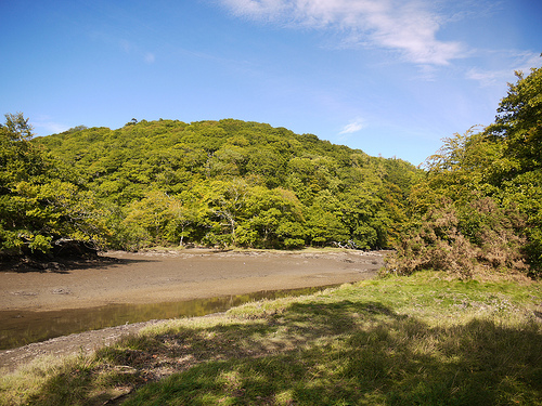
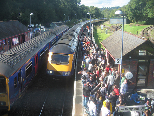
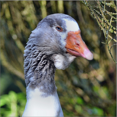
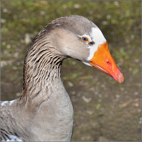
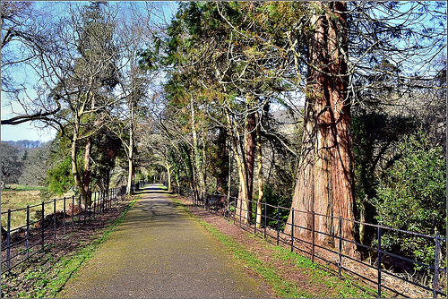
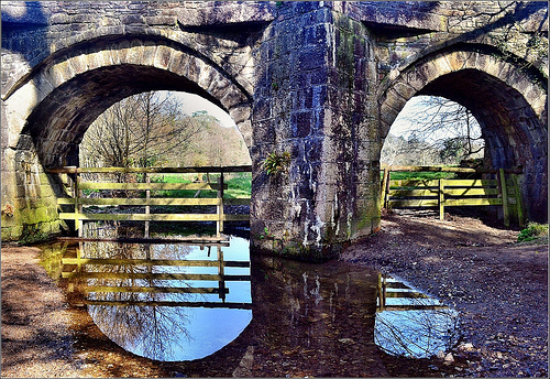
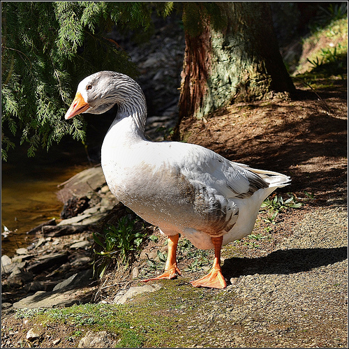
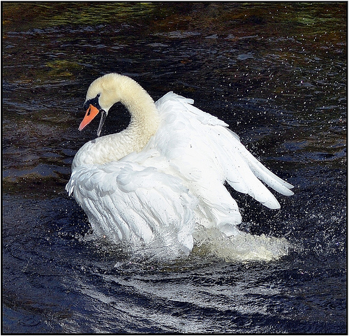
Pictures
Related Locations
Information of geographic nature is based on public data provided by geonames.org, CIA world facts book, Unesco, DBpedia and wikipedia. Weather is based on NOAA GFS.