-
You are here:
- Homepage »
- United Kingdom »
- Scotland » Clarkston

Clarkston Destination Guide
Touring Clarkston in United Kingdom
Clarkston in the region of Scotland with its 4,778 citizens is a city located in United Kingdom - some 341 mi or ( 548 km ) North-West of London , the country's capital city .
Time in Clarkston is now 05:44 PM (Saturday) . The local timezone is named " Europe/London " with a UTC offset of 0 hours. Depending on your travel resources, these more prominent places might be interesting for you: Stirling, Sheffield, Rutherglen, Pollokshaws, and Perth. Being here already, consider visiting Stirling . We collected some hobby film on the internet . Scroll down to see the most favourite one or select the video collection in the navigation. Check out our recommendations for Clarkston ? We have collected some references on our attractions page.
Videos
Scotland v England 1966
In the year England win the world cup, they travel to Hampden park to play Scotland and a thrilling match England narrowly hang on to record a 4-3 win Scotland team:- 1.Robert Feguson 2.John Greig(Cap ..
RANGERS FANS SINGING SIMPLY THE BEST - AMAZING !!!!!
30 thousands Glasgow Rangers fans singing. Amazing ..
Urban Jungle Paintball Opening Day
Scotland's newest paintball site, and only urban site, opened on Saturday 13th June 2009. Owned and run by The Scottish Warriors Tony and Gaz, it is a site run by paintballers, for paintballers. This ..
Snow Patrol - Take Back The City (T In The Park 2009)
Snow Patrol performing Live at T In The Park. ..
Videos provided by Youtube are under the copyright of their owners.
Interesting facts about this location
Stamperland
Stamperland is a district of the small suburban town of Clarkston, East Renfrewshire, Scotland. The area's close proximity to Glasgow effectively makes it a suburb of the city, though it remains administratively separate. Adjoining districts are Netherlee to the north and Giffnock to the west; it is also bordered by Clarkston Road to the west and the White Cart Water to the east. It is served by the Glasgow Central to East Kilbride line through Clarkston Station.
Located at 55.79 -4.27 (Lat./Long.); Less than 1 km away
Williamwood High School
Williamwood High School, in Clarkston, East Renfrewshire, is a non denominational school. It has a school roll of over 1600 pupils and was recently built on Eaglesham road in Clarkston, replacing the old school on Seres road nearby. The new school is state-of-the-art and has been named as one of Scotland's most advanced schools and also one of the most expensive to build.
Located at 55.78 -4.28 (Lat./Long.); Less than 1 km away
East Renfrewshire
East Renfrewshire (Scots: Aest Renfrewshire, Scottish Gaelic: Siorrachd Rinn Friù an Ear) is one of 32 council areas of Scotland. Until 1975 it formed part of the county of Renfrewshire for local government purposes along with the modern council areas of Renfrewshire and Inverclyde. Although no longer a local authority area, Renfrewshire still remains the registration county and lieutenancy area of East Renfrewshire.
Located at 55.80 -4.29 (Lat./Long.); Less than 2 km away
Giffnock
Giffnock is a suburban town in East Renfrewshire set in the Central Lowlands of Scotland. It lies 3.7 miles east of Barrhead, 5.6 miles east-southeast of Paisley and 5.3 miles northwest of East Kilbride, at the southwest of the Greater Glasgow conurbation. Giffnock is mentioned in documents as early as the seventeenth century as a scattered agricultural settlement.
Located at 55.80 -4.30 (Lat./Long.); Less than 2 km away
Thorntonhall
Thorntonhall is a village in South Lanarkshire, Scotland. The village lies along the Border with East Renfrewshire to the East, close to Waterfoot and Jackton. It is West of East Kilbride, and North of Eaglesham. It is served by its own railway station. Since 2000, the population has doubled to an estimated 3000, and is expected to rise as more homes are continuing to be built.
Located at 55.77 -4.25 (Lat./Long.); Less than 3 km away
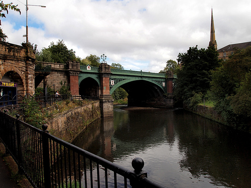
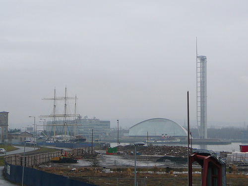
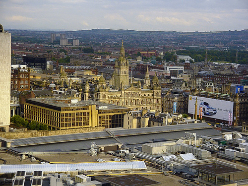
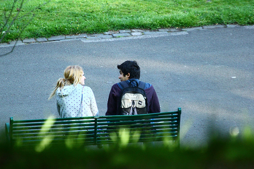
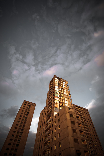
Pictures


Related Locations


Information of geographic nature is based on public data provided by geonames.org, CIA world facts book, Unesco, DBpedia and wikipedia. Weather is based on NOAA GFS.