-
You are here:
- Homepage »
- United States »
- California » Lebec

Lebec Destination Guide
Discover Lebec in United States
Lebec in the region of California with its 1,468 habitants is a town located in United States - some 2,309 mi or ( 3715 km ) West of Washington , the country's capital .
Local time in Lebec is now 10:31 AM (Friday) . The local timezone is named " America/Los Angeles " with a UTC offset of -7 hours. Depending on your flexibility, these larger cities might be interesting for you: Bakersfield, Caswell, Grapevine, Lake of the Woods, and LA. When in this area, you might want to check out Bakersfield . We found some clip posted online . Scroll down to see the most favourite one or select the video collection in the navigation. Are you looking for some initial hints on what might be interesting in Lebec ? We have collected some references on our attractions page.
Videos
California Interstate 5 (I-5) Grapevine Ascent at 300 MPH
Welcome to one of the world's busiest commercial thoroughfares. Fasten your seatbelt as you ascend California Interstate 5's legendary Grapevine grade at a blistering 300 MPH (video simulation Mr. CHP ..
San Andreas Fault
California's most famous and feared seismic fault! Here's a section just north of LA as it is seen to the right of the northbound I-5 at Gorman Post Road, The Pacific Tectonic Plate is on the left, th ..
Early Amtrak of mid-1970's in Southern California
Silent 8mm shots of Amtrak's San Diegans, Southwest Limited, Las Vegas Special, and Coast Starlight from mostly 1975 - 1977 . All SDP40Fs and E units. Consists are solid Phase I paint scheme with only ..
Salman khan dan ARZAROY waktu kecil.mp4
VIDEO INI DI BUAT DI SEKARBELA CITY, TAPI GAK DAPET RATING. HE HE HE.... ..
Videos provided by Youtube are under the copyright of their owners.
Interesting facts about this location
Rancho Castac
This is an article about a former California rancho. For a community of a similar name in the same general area, see Castaic, California. Rancho Castac or Rancho Castec was a 22,178-acre Mexican land grant in present-day Kern and Los Angeles counties, California, made by Governor Manuel Micheltorena to Jose Maria Covarrubias in 1843. The word Castac is derived from Kashtiq, the Chumash-language name that the Chumash people gave to the area.
Located at 34.85 -118.85 (Lat./Long.); Less than 2 km away
Tejon Pass
The Tejon Pass is a mountain pass, between the southwest end of the Tehachapi Mountains and northeastern San Emigdio Mountains, linking Northern California via the Central Valley to Southern California.
Located at 34.80 -118.88 (Lat./Long.); Less than 4 km away
Fort Tejon
Fort Tejon in California is a former United States Army outpost which was intermittently active from June 24, 1854, until September 11, 1864. It is located in the Grapevine Canyon (La Cañada de las Uvas) between the San Emigdio Mountains and Tehachapi Mountains. It is in the area of Tejon Pass along Interstate 5, the main route through the mountain ranges separating the Central Valley from the Los Angeles Basin and Southern California.
Located at 34.87 -118.89 (Lat./Long.); Less than 4 km away
Peace Valley (Los Angeles County)
Peace Valley is a valley in the northern part of Los Angeles County east and southeast of Gorman.
Located at 34.80 -118.87 (Lat./Long.); Less than 5 km away
Rancho Los Alamos y Agua Caliente
Rancho Los Alamos y Agua Caliente was a 26,626-acre Mexican land grant in present day Kern County, California given in 1846 by Governor Pio Pico to Francisco Lopes, Luis Jordan and Vicente Botiller. The name means "Cottonwoods and Warm Water Ranch" in Spanish. The native riparian Fremont Cotonwood (Populus fremontii) grow around natural springs. Rancho Los Alamos y Agua Caliente lay between two other Mexican Land Grants in the Tehachapi Mountains, Rancho El Tejon and Rancho Castac.
Located at 34.85 -118.80 (Lat./Long.); Less than 6 km away
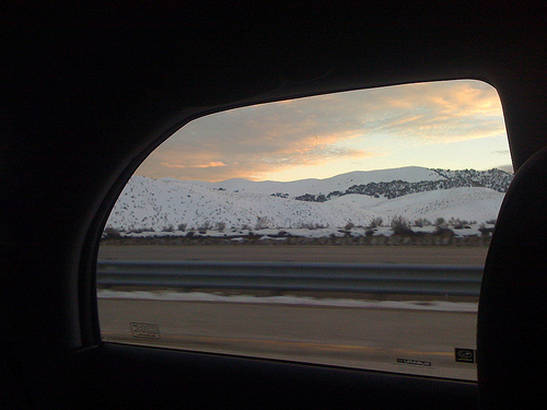
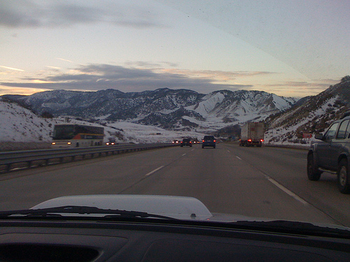
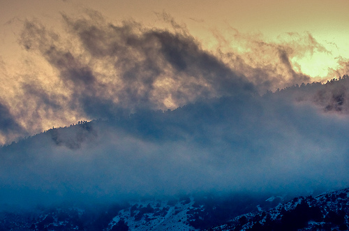
Pictures
Related Locations
Information of geographic nature is based on public data provided by geonames.org, CIA world facts book, Unesco, DBpedia and wikipedia. Weather is based on NOAA GFS.