-
You are here:
- Homepage »
- United States »
- California » Lake of the Woods

Lake of the Woods Destination Guide
Discover Lake of the Woods in United States
Lake of the Woods in the region of California with its 917 habitants is a place located in United States - some 2,316 mi or ( 3728 km ) West of Washington , the country's capital .
Local time in Lake of the Woods is now 08:14 PM (Thursday) . The local timezone is named " America/Los Angeles " with a UTC offset of -7 hours. Depending on your mobility, these larger cities might be interesting for you: Bakersfield, Gorman, Grapevine, Lebec, and LA. When in this area, you might want to check out Bakersfield . We discovered some clip posted online . Scroll down to see the most favourite one or select the video collection in the navigation. Are you looking for some initial hints on what might be interesting in Lake of the Woods ? We have collected some references on our attractions page.
Videos
Dirt biking in Frazier Park, CA (HD 170)
Bati, Rody y Andres ..
Mt. Pinos - 1-6-08
A day in the snow. Our mini"Vacation". ..
Lockwood Valley Road - pt. 1 (HD)
Starts on Frazier Mountain Park Road a little before the turn to Lockwood Valley. The video does not do justice to the purple meadow on the right at 3:12, but you can still get some idea of what it lo ..
More Driving the San Andreas - pt. 13: Frazier Mountan Park Road (HD)
This clip starts where part 11 ends and goes back the other way on a different day in a different car. Parts 14-19 diverge from that route to show the drive to the Mt. Pinos Nordic Base at 8300 ft and ..
Videos provided by Youtube are under the copyright of their owners.
Interesting facts about this location
California montane chaparral and woodlands
The California montane chaparral and woodlands ecoregion covers 7,900 square miles, including the mountains of the Transverse, Peninsular, and Santa Lucia Ranges of California. It is part of the Mediterranean forests, woodlands, and scrub biome, with cool, wet winters and hot, dry summers. Elevations in the ecoregion reach 11,503 feet on San Gorgonio Mountain, resulting in a wide variety of natural communities, from chaparral to mixed evergreen forest to alpine tundra.
Located at 34.80 -119.10 (Lat./Long.); Less than 10 km away
Tejon Pass
The Tejon Pass is a mountain pass, between the southwest end of the Tehachapi Mountains and northeastern San Emigdio Mountains, linking Northern California via the Central Valley to Southern California.
Located at 34.80 -118.88 (Lat./Long.); Less than 11 km away
Hungry Valley
Hungry Valley is a valley in the northern part of Los Angeles County south of Gorman.
Located at 34.78 -118.88 (Lat./Long.); Less than 11 km away
Fort Tejon
Fort Tejon in California is a former United States Army outpost which was intermittently active from June 24, 1854, until September 11, 1864. It is located in the Grapevine Canyon (La Cañada de las Uvas) between the San Emigdio Mountains and Tehachapi Mountains. It is in the area of Tejon Pass along Interstate 5, the main route through the mountain ranges separating the Central Valley from the Los Angeles Basin and Southern California.
Located at 34.87 -118.89 (Lat./Long.); Less than 11 km away
Peace Valley (Los Angeles County)
Peace Valley is a valley in the northern part of Los Angeles County east and southeast of Gorman.
Located at 34.80 -118.87 (Lat./Long.); Less than 12 km away
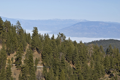
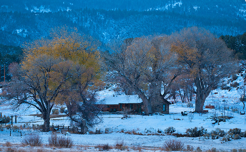
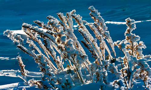
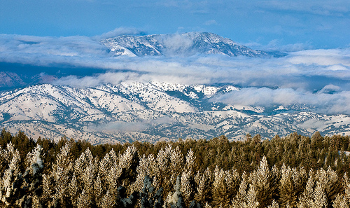
Pictures


Related Locations
Information of geographic nature is based on public data provided by geonames.org, CIA world facts book, Unesco, DBpedia and wikipedia. Weather is based on NOAA GFS.