-
You are here:
- Homepage »
- United States »
- California » Lone Pine

Lone Pine Destination Guide
Explore Lone Pine in United States
Lone Pine in the region of California with its 2,035 inhabitants is a town in United States - some 2,228 mi or ( 3585 km ) West of Washington , the country's capital city .
Current time in Lone Pine is now 11:41 PM (Tuesday) . The local timezone is named " America/Los Angeles " with a UTC offset of -7 hours. Depending on the availability of means of transportation, these more prominent locations might be interesting for you: Alico, Bakersfield, Bartlett, Beveridge, and Dolomite. Since you are here already, make sure to check out Alico . We saw some video on the web . Scroll down to see the most favourite one or select the video collection in the navigation. Where to go and what to see in Lone Pine ? We have collected some references on our attractions page.
Videos
Jonah and the Orca
A enthusiastic killer whale joins a group of sea kayakers. ..
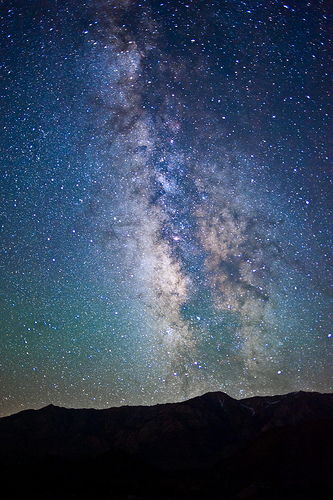
Eastern Sierras: Images in the Fall
The eastern Sierra Nevada mountains of California are a collage of colors and textures in the fall months, as seen in these clips taken by RTSea Productions. From the Alabama Hills and Bishop Creek Ca ..
100828 GoPro HD into Lone Pine, California 1080i PSU12.wmv
Two clips slapped together of approaching Lone Pine, California and passing through downtown, a test of the GoPro Hero HD camera mounted above gas tank of 2005 Yamaha FJR1300 on a 3" square aluminum p ..
Mt Whitney webcam video
Mt Whitney Webcam video, March 9, 2011. Taken by the webcam on the Lone Pine Film History Museum ..
Videos provided by Youtube are under the copyright of their owners.
Interesting facts about this location
KLPC-LP
KLPC-LP is a radio station licensed to Lone Pine, California, USA. The station is currently owned by Lone Pine Advent Believers.
Located at 36.61 -118.06 (Lat./Long.); Less than 0 km away
1872 Lone Pine earthquake
The Great Lone Pine earthquake was one of the largest earthquakes to hit California in recorded history. The quake struck on March 26, 1872 and its epicenter was near Lone Pine, California in Owens Valley.
Located at 36.61 -118.06 (Lat./Long.); Less than 1 km away
Paiute-Shoshone Indians of the Lone Pine Community of the Lone Pine Reservation
The Paiute-Shoshone Indians of the Lone Pine Community of the Lone Pine Reservation is a federally recognized tribe of Mono and Timbisha Native American Indians near Lone Pine in Inyo County, California. They are related to the Owens Valley Paiute.
Located at 36.60 -118.06 (Lat./Long.); Less than 1 km away
Lone Pine Airport
Lone Pine Airport is a public airport located one mile (1.6 km) southeast of Lone Pine serving Inyo County, California, USA. The airport has two runways and is mostly used for general aviation. Charts: San Francisc; L5. UNICOM/CTAF Frequency: 122.8
Located at 36.59 -118.05 (Lat./Long.); Less than 2 km away
Lone Pine, California
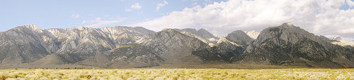
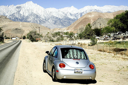
Lone Pine is a census-designated place (CDP) in Inyo County, California, United States. Lone Pine is located 16 miles south-southeast of Independence, at an elevation of 3727 feet (1136 m). The population was 2,035 at the 2010 census, up from 1,655 at the 2000 census. The town is located in the Owens Valley, near the Alabama Hills. From possible choices of urban, rural, and frontier, the Census Bureau identifies this area as "frontier.
Located at 36.59 -118.05 (Lat./Long.); Less than 2 km away
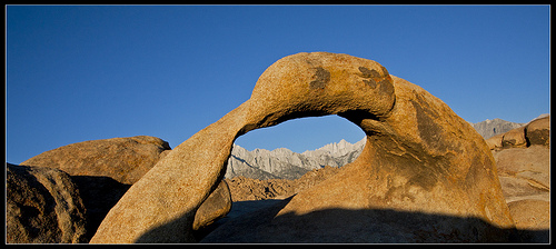
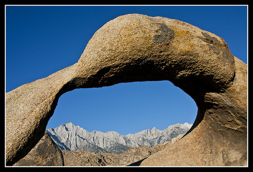
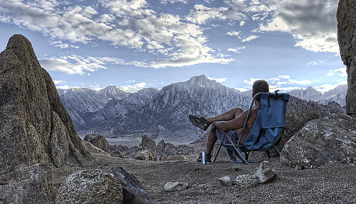
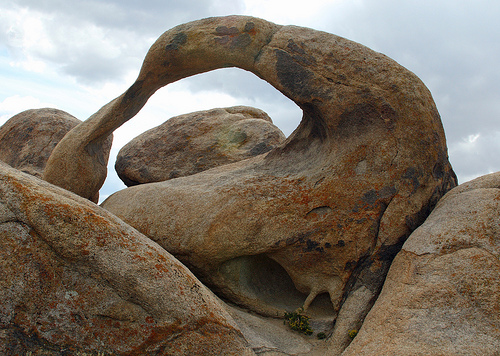
Pictures
Related Locations
Information of geographic nature is based on public data provided by geonames.org, CIA world facts book, Unesco, DBpedia and wikipedia. Weather is based on NOAA GFS.