-
You are here:
- Homepage »
- United States »
- California » Niland

Niland Destination Guide
Discover Niland in United States
Niland in the region of California with its 1,006 habitants is a place located in United States - some 2,168 mi or ( 3489 km ) West of Washington , the country's capital .
Local time in Niland is now 03:07 PM (Friday) . The local timezone is named " America/Los Angeles " with a UTC offset of -7 hours. Depending on your mobility, these larger cities might be interesting for you: Mexicali, Parker, Phoenix, Yuma, and Calipatria. When in this area, you might want to check out Mexicali . We discovered some clip posted online . Scroll down to see the most favourite one or select the video collection in the navigation. Are you looking for some initial hints on what might be interesting in Niland ? We have collected some references on our attractions page.
Videos
Salvation Mountain Video Tour
A virtual tour of Salvation Mountain near Niland, CA. Read all about our time boondocking at Slab City and see other videos of culture on the slabs at LiveWorkDream.com! ..
The Haun Solo Project - Addicted OFFICIAL MUSIC VIDEO
Independent people support independent artists. Please share this video with your friends. Grab a CD at www.haunsolo.com Written, directed, produced, and edited by Lindsey Haun Cinematography, Color a ..
Insane Wayne sings Slab City in Niland Tomatoe fest
Insane Wayne Sings his most requested song he wrote it's called Slab City ..
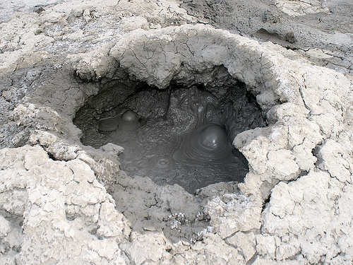
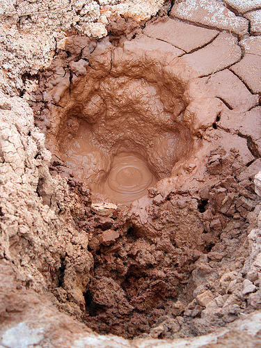
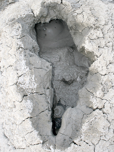
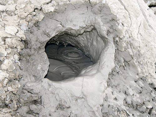
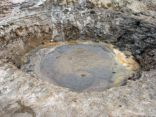
California Mud Pots - Salton Sea
Created on January 8, 2009 using FlipShare. ..
Videos provided by Youtube are under the copyright of their owners.
Interesting facts about this location
Imperial County, California
Imperial County is a county located in the Imperial Valley, in the far southeast of the U.S. state of California, bordering both Arizona and Mexico. It is part of the El Centro Metropolitan Area, which encompasses all of Imperial County. The population as of 2010 was 174,528. The county seat is the city of El Centro. Established in 1907, it was the last county to be established in California.
Located at 33.25 -115.47 (Lat./Long.); Less than 5 km away
Imperial Valley
The Imperial Valley lies in California's Imperial County. It is located in southeastern Southern California, and is the site of an urban area largely centered around the city of El Centro. The Valley is bordered by the Colorado River to the east and, in part, the Salton Sea to the west. Farther west lies the San Diego and Imperial County border.
Located at 33.25 -115.47 (Lat./Long.); Less than 5 km away
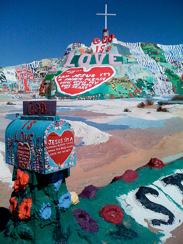
Salvation Mountain
Salvation Mountain is an art installation covering a hill north of Calipatria, California, near Slab City and just several miles from the Salton Sea. It is made from adobe, straw, and thousands of gallons of paint. It was created by local resident Leonard Knight, and encompasses numerous murals and areas painted with Christian sayings and Bible verses. In December of 2011, Knight (at the age of 80) was placed in a long-term care facility in El Cajon for dementia.
Located at 33.25 -115.47 (Lat./Long.); Less than 5 km away
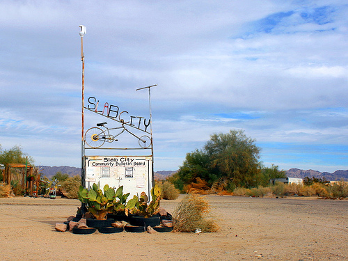
Slab City
Slab City or The Slabs is a snowbird campsite in the Colorado Desert in southeastern California, used by recreational vehicle owners and squatters from across North America. It takes its name from the concrete slabs that remain from the abandoned World War II Marine barracks of Camp Dunlap. Several thousand campers, many of them retired, use the site during the winter months. These "snowbirds" stay only for the winter, before migrating north in the spring to cooler climates.
Located at 33.26 -115.47 (Lat./Long.); Less than 5 km away
Mundo, California
Mundo (formerly, Volcano and Volcano Springs) is an unincorporated community in Imperial County, California. It is located on the Southern Pacific Railroad 7.5 miles southeast of Frink, at an elevation of 190 feet (58 m) below sea level. The Volcano Springs post office was operated from 1901 to 1902 by Dr. Mundo, from whom the region derives its name.
Located at 33.27 -115.57 (Lat./Long.); Less than 6 km away
Pictures
Related Locations
Information of geographic nature is based on public data provided by geonames.org, CIA world facts book, Unesco, DBpedia and wikipedia. Weather is based on NOAA GFS.