-
You are here:
- Homepage »
- United States »
- Hawaii » Ahuimanu

Ahuimanu Destination Guide
Explore Ahuimanu in United States
Ahuimanu in the region of Hawaii with its 8,810 inhabitants is a town in United States - some 4,822 mi or ( 7761 km ) West of Washington , the country's capital city .
Current time in Ahuimanu is now 10:16 PM (Saturday) . The local timezone is named " Pacific/Honolulu " with a UTC offset of -10 hours. Depending on the availability of means of transportation, these more prominent locations might be interesting for you: Kahalu'u, Kane'ohe, Lihue, Pearl City, and Punalu'u. Since you are here already, make sure to check out Kahalu'u . We saw some video on the web . Scroll down to see the most favourite one or select the video collection in the navigation. Where to go and what to see in Ahuimanu ? We have collected some references on our attractions page.
Videos
Sandy Beach Hawaii Huge Surf
This was the biggest surf I've ever seen at Sandy Beach (Oahu) in November 2003. Watch tow-in surfer at the end! ..
This Is Aloha
A photo montage expressing my love for my home...my Hawaii ..
LOST Ranch, Kualoa Ranch, Oahu, Hawai'i
www.bradleyold.com Taken while at Kualoa Ranch quad biking, while their they were filming LOST series 5, may be some spoiler ..
Kolu Honu Video Tour
Kolu Honu, built in 2004, provides the ultimate in both luxury and privacy for your vacation getaway to our island paradise. Custom designed and appointed to suit the most discriminating tastes, Kolu ..
Videos provided by Youtube are under the copyright of their owners.
Interesting facts about this location
Ahuimanu, Hawaii
Ahuimanu is a census-designated place (CDP) in the City & County of Honolulu, Hawaii, United States, on the island of Oahu. In Hawaiian ʻāhui-manu means "cluster of birds". Ahuimanu is spread out beneath the steep windward pali (cliff face) of the Koolau mountain and separated by a low ridge from Heeia Kea. Thus, this area is mostly inland and not directly on Kaneohe Bay.
Located at 21.44 -157.84 (Lat./Long.); Less than 0 km away
Byodo-In Temple
The Byodo-In Temple is a non-denominational Buddhist temple located on the island of O'ahu in Hawai'i at the Valley of the Temples. At 47-200 Kahekili Highway, the Byodo-In Temple is a replica of a 900-year-old Buddhist place of worship at Uji in Kyoto prefecture of Japan. Inside the Byodo-In Temple is a nine-foot (3 m) Lotus Buddha, a wooden Buddha. It is covered in gold and lacquer. Outside is a three-ton, brass peace bell.
Located at 21.43 -157.83 (Lat./Long.); Less than 2 km away
Kahaluu, Hawaii
Kahaluʻu is a residential community and census-designated place (CDP) in the City and County of Honolulu, Hawaii, United States, in the District of Koolaupoko on the island of Oahu. In Hawaiian ka haluʻu means "diving place". As of the 2010 Census, the CDP had a total population of 4,738. At Kahaluʻu, visitors to the windward side travelling via the Pali Highway, H-3, or Likelike Highway first encounter the ocean close beside the highway (Kamehameha Highway or Route 83).
Located at 21.46 -157.84 (Lat./Long.); Less than 2 km away
Heʻeia, Hawaii
Heʻeia is a census-designated place comprising several neighborhoods located in the City & County of Honolulu and the Koʻolaupoko District on the island of Oʻahu north of Kāneʻohe. In Hawaiian the words heʻe ʻia mean "washed away", alluding to a victory achieved by the populace against others from leeward Oʻahu, aided by a tsunami that washed the combatants off the shore. Heʻeia includes Haʻikū Valley and Heʻeia Kea. The population was 4,963 at the 2010 census.
Located at 21.43 -157.81 (Lat./Long.); Less than 3 km away
Kāneʻohe Bay
Kāneʻohe Bay, at 45 km², is the largest sheltered body of water in the main Hawaiian Islands. This reef-dominated embayment constitutes a significant scenic and recreational feature along the windward (northeast) coast of the Island of Oʻahu. The largest population center on Kāneʻohe Bay is the town of Kāneʻohe. The Bay is approximately 8 mi (12.8 km) long and 2.7 mi (4.3 km) broad, with a mouth opening of about 4.6 mi (7.4 km) and maximum depth of 40 ft (12 m) in the dredged channel.
Located at 21.46 -157.80 (Lat./Long.); Less than 4 km away
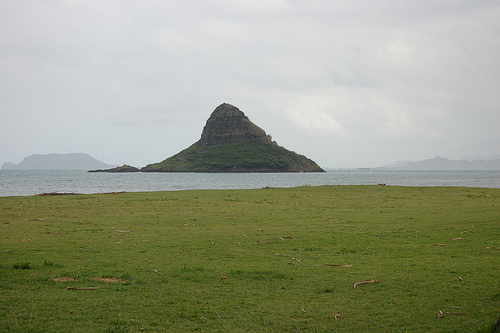
Pictures
Related Locations
Information of geographic nature is based on public data provided by geonames.org, CIA world facts book, Unesco, DBpedia and wikipedia. Weather is based on NOAA GFS.