-
You are here:
- Homepage »
- Afghanistan »
- Laghman » Qarghah'i

Qarghah'i Destination Guide
Explore Qarghah'i in Afghanistan
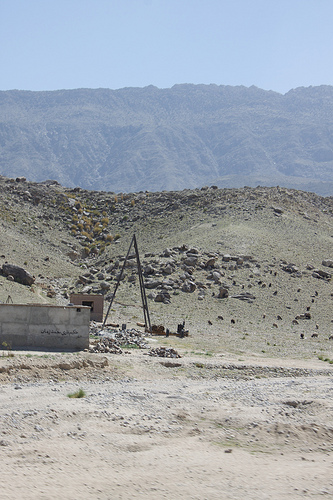
Qarghah'i in the region of Laghmān is a town in Afghanistan - some 61 mi or ( 98 km ) East of Kabul , the country's capital city .
Current time in Qarghah'i is now 05:38 PM (Thursday) . The local timezone is named " Asia/Kabul " with a UTC offset of 4.5 hours. Depending on the availability of means of transportation, these more prominent locations might be interesting for you: Tirgali, Shayrgar, Shamatay, Mehtar Lam, and Khost. Since you are here already, make sure to check out Tirgali . We encountered some video on the web . Scroll down to see the most favourite one or select the video collection in the navigation. Where to go and what to see in Qarghah'i ? We have collected some references on our attractions page.
Videos
Shafiq Mureed New Song sta merrani ta salam (Pa Watan Bandi )ستا ميراني ته سلام
shafiq mureed live performance in Jalal abad city... ..
Village Sak - Digging a well by ssf
Diggin a well @ Village Sak.. Outside Jalalabad, afghanistan. ..
small stalls near roadside
driving in eastern Afghanistan near Jalalabad ..
Videos provided by Youtube are under the copyright of their owners.
Interesting facts about this location
Lalkhanabad
The Lalkhanabad village is the center of Qarghayi District of Laghman Province, Afghanistan. It is located on {{#invoke:Coordinates|coord}}{{#coordinates:34.5531|N|70.2269|E||||| | |name= }} at 638 m altitude between the Kabul River and its tributary - the Alingar River.
Located at 34.55 70.23 (Lat./Long.); Less than 1 km away
Char Bagh
Char Bagh is an area within Laghman Province, Afghanistan and is observable from the Jalalabad-Kabul Road. According to some sources, when Alexander the Great entered the region, he built a town between Char Bagh and Mandrawar after the Greek god of victory.
Located at 34.53 70.29 (Lat./Long.); Less than 5 km away
Darunta Dam
The Darunta Dam is a hydroelectric power dam located on the Kabul River, approximately 7 km west of Jalalabad, the capital of Nangarhar Province in eastern Afghanistan. Darunta Dam was constructed by Soviet Union (USSR) companies in 1964 and its power station contains three vertical Kaplan turbines (six-blade propeller) with a rated output of 3.85 MW each.
Located at 34.48 70.36 (Lat./Long.); Less than 13 km away
Derunta training camp
The Derunta training camp (also transliterated as Darunta) was one of the most well-known of many military training camps that have been alleged to have been affiliated with al Qaeda.
Located at 34.48 70.36 (Lat./Long.); Less than 14 km away
Darūntah
Darūntah (Khayrow Khel) is a village in Jalalabad District of Nangarhar province. It is located next to Jalalabad city on route AO1 in Afghanistan. It gave its name to the Derunta training camp located north of the village, across the Darunta Dam.
Located at 34.48 70.36 (Lat./Long.); Less than 14 km away
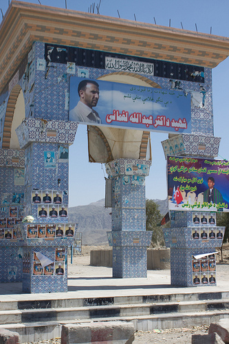
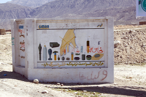
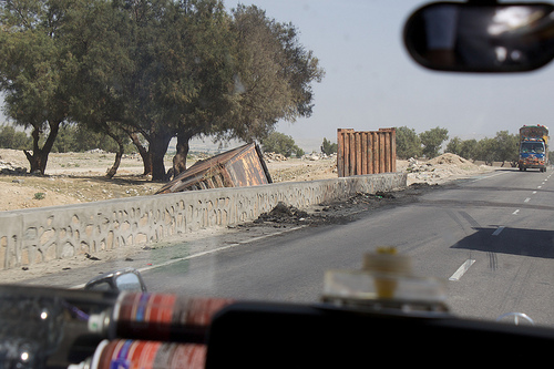
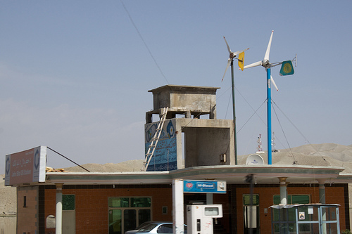
Pictures
Historical Weather
Related Locations
Information of geographic nature is based on public data provided by geonames.org, CIA world facts book, Unesco, DBpedia and wikipedia. Weather is based on NOAA GFS.