-
You are here:
- Homepage »
- Canada »
- British Columbia » White Rock

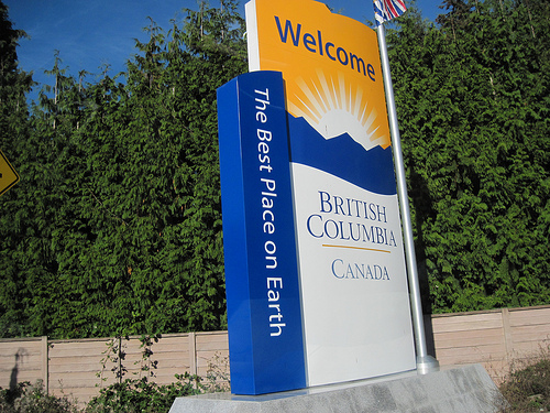
White Rock Destination Guide
Discover White Rock in Canada
White Rock in the region of British Columbia with its 66,450 habitants is a town located in Canada - some 2,189 mi or ( 3522 km ) West of Ottawa , the country's capital .
Local time in White Rock is now 01:33 AM (Friday) . The local timezone is named " America/Vancouver " with a UTC offset of -7 hours. Depending on your flexibility, these larger cities might be interesting for you: Portland, Bellingham, Birch Bay, Birch Bay Circle Grange, and Everett. When in this area, you might want to check out Portland . We found some clip posted online . Scroll down to see the most favourite one or select the video collection in the navigation. Are you looking for some initial hints on what might be interesting in White Rock ? We have collected some references on our attractions page.
Videos
White Rock British Columbia, Canada [HD]
Close to Vancouver BC and the Canada/US border, White Rock is popular with retirees wishing the best of the west coast life with less hustle and bustle than Vancouver or other metropolitan areas offer ..
She is the Girl from Belfast City sung by Al Price
with Harry Murtagh on violin, and others in the Elks hall #431 WhiteRock BC there is a Cameo appearance at the end of 93 year old Mildred Harvey who loves to come to the music on Wednesday afternoons ..
White Rock British Columbia ~ It's beautiful . . .
White Rock and Crescent Beach are places you might want to check out if visiting the Lower Mainland. According to locals, we just missed seeing some porpoises that were in the bay the day before. ..
White Rock BC
Most of Canada will soon be blanketed by winter snow. Cold Arctic winds blowing accross the landscape, but the South Coast of BC escapes the raveges of winter in most years. Imagine thaat White Rock B ..
Videos provided by Youtube are under the copyright of their owners.
Interesting facts about this location
Campbell River (Semiahmoo Bay)
Campbell River passes through Surrey and Langley, British Columbia, Canada, entering Semiahmoo Bay at the Semiahmoo Indian Reserve, which lies between the City of White Rock and Peace Arch Park on the international boundary. Originally labelled Campbell Creek in 1917 by the Geographic Board of Canada, it was labelled Tahtaloo on International Boundary Survey sheet 2 (date not cited); variant spellings include Tahla too, Tah-la-loo, and Tah tu lo.
Located at 49.02 -122.78 (Lat./Long.); Less than 2 km away
Semiahmoo Bay
Semiahmoo Bay is the southeastern section of Boundary Bay on the Pacific coast of North America. The name "Semiahmoo" is a Coast Salish word for "half moon".
Located at 49.00 -122.82 (Lat./Long.); Less than 2 km away
Semiahmoo Indian Reserve
The Semiahmoo Indian Reserve is an Indian Reserve in the Lower Mainland, British Columbia, located on Semiahmoo Bay between the City of White Rock and Peace Arch Park, which sits astride the international boundary with Washington state. It is under the administration of the Semiahmoo First Nation.
Located at 49.01 -122.76 (Lat./Long.); Less than 3 km away
Semiahmoo First Nation
Semiahmoo First Nation is the band government of the Semiahmoo people, a Coast Salish subgroup. The band's main community and offices are located on 312 acres of Indian Reserve just south of White Rock, British Columbia and near the Canada-United States boundary and Peace Arch Provincial Park.
Located at 49.00 -122.77 (Lat./Long.); Less than 3 km away
Semiahmoo Spit
Semiahmoo Spit is a spit that protrudes from the westernmost expanse of shore along Drayton Harbor in the city of Blaine, WA located in Whatcom County, WA.
Located at 48.98 -122.78 (Lat./Long.); Less than 4 km away
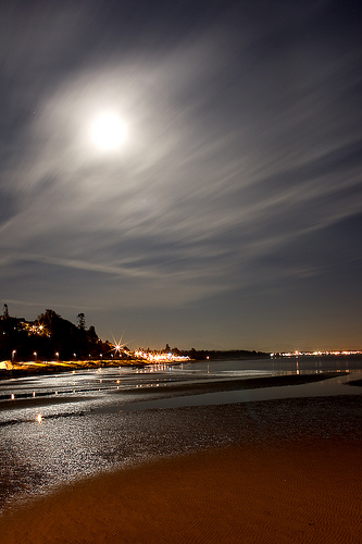
Pictures


Related Locations
Information of geographic nature is based on public data provided by geonames.org, CIA world facts book, Unesco, DBpedia and wikipedia. Weather is based on NOAA GFS.