-
You are here:
- Homepage »
- Germany »
- Schleswig-Holstein » Sankt Peter-Ording

Sankt Peter-Ording Destination Guide
Delve into Sankt Peter-Ording in Germany
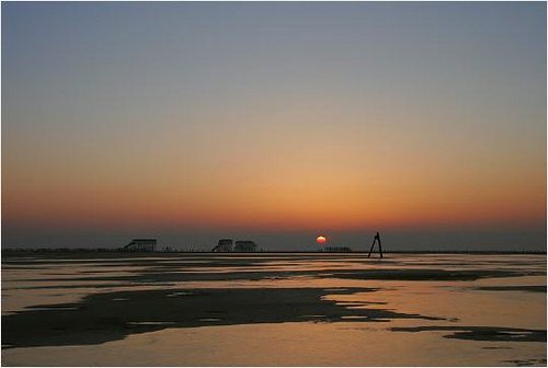
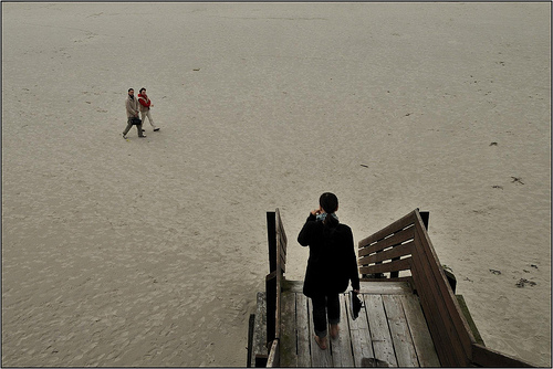
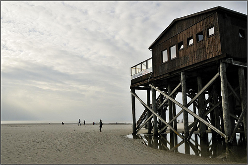
Sankt Peter-Ording in the region of Schleswig-Holstein with its 4,092 residents is a city in Germany - some 232 mi or ( 373 km ) North-West of Berlin , the country's capital .
Current time in Sankt Peter-Ording is now 10:44 AM (Wednesday) . The local timezone is named " Europe/Berlin " with a UTC offset of 1 hours. Depending on your travel modalities, these larger destinations might be interesting for you: Sønderborg, Copenhagen, Kolding, Haderslev, and Esbjerg. While being here, make sure to check out Sønderborg . We encountered some video on the web . Scroll down to see the most favourite one or select the video collection in the navigation. Are you curious about the possible sightseeing spots and facts in Sankt Peter-Ording ? We have collected some references on our attractions page.
Videos
Mac Mini 2009 & iMovie 09 & Canon Legria FS306
Just got the Canon Legria Fs 306 today ( for work) and tested it on our trip to St. Peter Ording Beach. I used it right out of the box . Well i only loaded the batterie which took about 3 hours. I eve ..
Bizarre Eisberge am Strand von St.Peter-Ording
Naturschauspiel an der Küste von St.Peter-Ording ..
CORE kiteboarding: Short Review PKRA Kitesurf WorldCup TourStop St. Peter-Ording 2009
We had a big stand in the kitelife village and many people came around. Thanks for visiting us! It was a pleasure for us! More information about CARVED custom kiteboards at www.carved.de, CORE kites h ..
Beetle Kitesurf World Cup 2012 in St.Peter Ording by Kitemafia.TV
Kitesurfen-kitesurfen-kitesurfen: Der Beetle Kitesurf Welt Cup in St. Peter Ording vom 06.-15.07.2012 war wieder mal ein Event der Superlative und wir von Kitemafia.TV waren mittendrin! Bereits zum si ..
Videos provided by Youtube are under the copyright of their owners.
Interesting facts about this location
Eiderstedt
Eiderstedt is a peninsula in the district of Nordfriesland in the German federal state of Schleswig-Holstein.
Located at 54.35 8.83 (Lat./Long.); Less than 14 km away
Eider Barrage
The Eider Barrage is located at the mouth of the river Eider near Tönning on Germany’s North Sea coast. Its main purpose is protection from storm surges by the North Seas. It is Germany’s largest coastal protection structure. It was also intended to contribute to economic recovery in the districts of Norderdithmarschen (today part of Dithmarschen) and Eiderstedt (today part of Nordfriesland). Celebrated as a structure of the century, it was opened on 20 March 1973.
Located at 54.26 8.85 (Lat./Long.); Less than 14 km away
Blauort
Blauort is one of Germany's uninhabited North Sea sandy islets off the coast of Dithmarschen, and measures about 1,200 m from north to south and 500 metres from east to west. It is surrounded by the sandbank of Blauortsand, which is bounded to the north by the creek of the Wesselburener Loch and to the south by the Piep. According to the Schleswig-Holstein National Park Office in Tönning, Blauort, like the sandbank of Tertius to the south, belongs to the parish of Hedwigenkoog.
Located at 54.17 8.72 (Lat./Long.); Less than 16 km away
Wadden Sea National Parks
The Wadden Sea National Parks, part of a UNESCO World Heritage Site, are located along the German coast of the North Sea.
Located at 54.46 8.65 (Lat./Long.); Less than 17 km away
Süderoog
Süderoog is one of the Halligen, a group of islands in the North Frisian Wadden Sea, off the west coast of Schleswig-Holstein in north Germany. It belongs administratively to the parish of Pellworm and is a bird reserve. Before the Burchardi flood in 1634 there were three houses on the island, one of which was inhabited by the beach lookout (Strandvogt). He was also the caretaker of the beacon, which was destroyed during the storm surge of 1634.
Located at 54.46 8.55 (Lat./Long.); Less than 19 km away
Pictures


Historical Weather
Related Locations
Information of geographic nature is based on public data provided by geonames.org, CIA world facts book, Unesco, DBpedia and wikipedia. Weather is based on NOAA GFS.