-
You are here:
- Homepage »
- United Kingdom »
- England » Bletchley

Bletchley Destination Guide
Discover Bletchley in United Kingdom
Bletchley in the region of England with its 50,193 habitants is a town located in United Kingdom - some 42 mi or ( 68 km ) North-West of London , the country's capital .
Local time in Bletchley is now 11:21 AM (Saturday) . The local timezone is named " Europe/London " with a UTC offset of 0 hours. Depending on your flexibility, these larger cities might be interesting for you: Woolstone, Woburn Sands, Stony Stratford, Stoke Goldington, and Southampton. When in this area, you might want to check out Woolstone . We found some clip posted online . Scroll down to see the most favourite one or select the video collection in the navigation. Are you looking for some initial hints on what might be interesting in Bletchley ? We have collected some references on our attractions page.
Videos
FA CUP : MK Dons 1 - 2 Burnley : Includes Goal
COMMENT AND RATE !!! The city of Milton Keynes was buzzing at the prospect of MK Dons beating a Barclays Premier League team at stadiummk. The Dons had hosted a number of top sides in Milton Keynes be ..
MK Dons Easter Pen V Birmingham City FC Friendly
Friendly MK Dons Easter Pen V Birmingham City FC, Dons went on to lose 2-3. ..
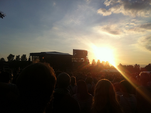
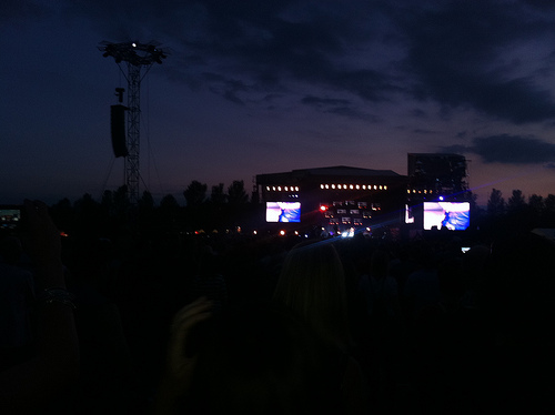
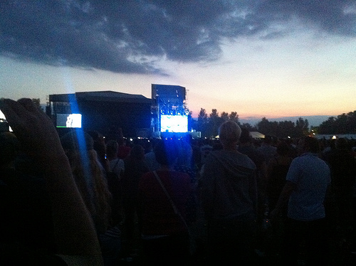
Pete Tong @ The Milton Keynes Bowl (and a drunk man struggling to walk)
part of the line up for the Swedish House Mafia gig* *Pete Tong, not the drunken man ..
Bletchley 21/1/2012, part 3
DB Schenker cl.66's no.66085 and 66213 top 'n' tail the UK Railtours "The Concrete Cow" charter train (reporting no. 1Z75) eastbound over the Bletchley Flyover, returning from near Swanbourne (the cur ..
Videos provided by Youtube are under the copyright of their owners.
Interesting facts about this location
Bletchley railway station
Bletchley is a railway station that serves the southern districts of Milton Keynes, England, and the north-eastern parts of the Buckinghamshire district of Aylesbury Vale. It includes a junction of the West Coast Main Line with the Bletchley-Bedford Marston Vale Line. This is one of the five railway stations serving Milton Keynes. The others are Milton Keynes Central, Wolverton, Fenny Stratford and Bow Brickhill.
Located at 51.99 -0.74 (Lat./Long.); Less than 0 km away
Blue Lagoon Local Nature Reserve
The Blue Lagoon Local Nature Reserve is a Local Nature Reserve in Bletchley, Milton Keynes in Buckinghamshire, United Kingdom. The Blue Lagoon is the only Local Nature Reserve in the Borough of Milton Keynes. The diverse habitat, including shallow and deep water, grassland, scrubland and woodland, hosts an abundance of fauna and flora. The Blue Lagoon is also extensively used as a recreational facility.
Located at 51.99 -0.74 (Lat./Long.); Less than 1 km away
Water Eaton, Milton Keynes
Water Eaton is an area of Milton Keynes, Buckinghamshire, England and in the civil parish of Bletchley and Fenny Stratford. It is to the south of Fenny Stratford, and is one of the ancient villages of Buckinghamshire that became incorporated as part of Milton Keynes in 1967. By the date of designation of Milton Keynes, it had already been virtually absorbed by the 1960s Greater London Council-built London overspill district known as the Lakes Estate.
Located at 51.99 -0.72 (Lat./Long.); Less than 1 km away
Lord Grey School
Lord Grey School is a comprehensive co-educational foundation secondary school in West Bletchley, Milton Keynes.
Located at 52.00 -0.75 (Lat./Long.); Less than 1 km away
Sanctuary Music Arena
The Sanctuary Music Arena was a 22,000 sq ft, 3,500 capacity music venue in Denbigh North, Milton Keynes in the UK. It opened its doors on 6 December 1991 to ESP promotions event called Dreamscape. Its also billed as the first and only designer dance venue in the country. The Sanctuary saw some of the UK's first legal Raves and was pivotal in the development of numerous underground electronic dance music genres, subgenres and styles.
Located at 52.01 -0.73 (Lat./Long.); Less than 1 km away
Pictures
Related Locations
Information of geographic nature is based on public data provided by geonames.org, CIA world facts book, Unesco, DBpedia and wikipedia. Weather is based on NOAA GFS.