-
You are here:
- Homepage »
- United Kingdom »
- England » Leek

Leek Destination Guide
Delve into Leek in United Kingdom
Leek in the region of England with its 19,186 residents is a city in United Kingdom - some 136 mi or ( 219 km ) North-West of London , the country's capital .
Current time in Leek is now 06:01 PM (Monday) . The local timezone is named " Europe/London " with a UTC offset of 0 hours. Depending on your travel modalities, these larger destinations might be interesting for you: Warslow, Sheffield, Oxford, Onecote, and Manchester. While being here, make sure to check out Warslow . We encountered some video on the web . Scroll down to see the most favourite one or select the video collection in the navigation. Are you curious about the possible sightseeing spots and facts in Leek ? We have collected some references on our attractions page.
Videos
37075 THRASH! LEEKBROOK JUNCTION - CAULDON LOW BRANCH
TURN THE VOLUME UP! Enjoy the ride behind 37075 as it tackles the 1in40 and 1in45 gradient away from Leekbrook Junction onto the Cauldon Low branch on 4th Oct 2010 during crew training for the reopeni ..
Byron Machin's Blood, Sweat & Stone Trailer
The trailer for a brand new 2-hour amateur documentary on the Peak District's long and fascinating mining industry. Featuring mining locations both above and below ground this in-depth study covers th ..
Stanier 'Black 5' 44767 + 8F 8624 on Caldon Low branch 7/11/2010
Stanier 'Black 5' 44767 and 8F 8624 topped-and-tailed crew training runs between Leekbrook and Caldon Jcn on 7 November and proved a great combination making short work of the continuous 1 in 45 and 1 ..
Cauldon Lowe Branch Reopening Gala
The line to the Quarries at Cauldon Lowe originally opened in 1905 but was mothballed in the early 90's. To celebrate its reopening, the Churnet Valley Railway, in conjunction with Moorland & City Rai ..
Videos provided by Youtube are under the copyright of their owners.
Interesting facts about this location
Staffordshire Moorlands
Staffordshire Moorlands is a local government district in Staffordshire, England. Its council, Staffordshire Moorlands District Council, is based in Leek and is located between the city of Stoke-on-Trent and the Peak District National Park. The 2001 census recorded the population as 94,489. Principal industries are agriculture, fashion and tourism. The area's three towns are Leek, Cheadle and Biddulph.
Located at 53.11 -2.03 (Lat./Long.); Less than 0 km away
Brindley Water Mill
The Brindley Water Mill is a water mill situated in the town of Leek in the English county of Staffordshire. The current mill was used for grinding corn and was built by James Brindley, the famous canal builder, in 1752, although previous mills existed on the site several centuries earlier. The mill has been restored and is now maintained and operated by the Brindley Mill Preservation Trust. It houses a small museum dedicated to Brindley's life and achievements.
Located at 53.11 -2.04 (Lat./Long.); Less than 1 km away
Rudyard, Staffordshire
Rudyard is a lakeside village in the county of Staffordshire, England, west of Leek and on the shore of Rudyard Lake. Rudyard was served by a railway station which was opened by the North Staffordshire Railway on 22 July 1850.
Located at 53.12 -2.07 (Lat./Long.); Less than 3 km away
Tittesworth reservoir
Tittesworth Reservoir is a water storage reservoir near Leek, Staffordshire, England, fed by the River Churnet. The reservoir and associated water treatment works are owned and operated by Severn Trent Water. The reservoir was created in 1963 when an earth embankment dam was built across the River Churnet valley. Tittesworth is the second largest reservoir by volume in the county of Staffordshire. A visitor centre contains a restaurant and small shop.
Located at 53.13 -2.01 (Lat./Long.); Less than 3 km away
Upper Hulme
Upper Hulme is a hamlet situated on the border in North Staffordshire near the border with Derbyshire and between Leek and Buxton. The area is popular with climbers as it is located very close to The Roaches. Until 2005 the area was used by the British Army as a training area. That space has now been vacated by the Ministry of Defence and is currently for sale.
Located at 53.13 -1.98 (Lat./Long.); Less than 4 km away
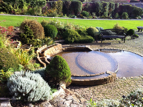
Pictures


Related Locations
Information of geographic nature is based on public data provided by geonames.org, CIA world facts book, Unesco, DBpedia and wikipedia. Weather is based on NOAA GFS.