-
You are here:
- Homepage »
- United States »
- California » Mountain Mesa

Mountain Mesa Destination Guide
Explore Mountain Mesa in United States
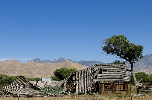
Mountain Mesa in the region of California with its 777 inhabitants is a town in United States - some 2,266 mi or ( 3647 km ) West of Washington , the country's capital city .
Current time in Mountain Mesa is now 06:03 PM (Wednesday) . The local timezone is named " America/Los Angeles " with a UTC offset of -7 hours. Depending on the availability of means of transportation, these more prominent locations might be interesting for you: Havilah, Alta Sierra, Bakersfield, Bella Vista, and Bodfish. Since you are here already, make sure to check out Havilah . We saw some video on the web . Scroll down to see the most favourite one or select the video collection in the navigation. Where to go and what to see in Mountain Mesa ? We have collected some references on our attractions page.
Videos
Lake Isabella and Kern River
Lake Isabella and Kern River back in Nov 2005. Check mpg vs mp4 ..
Minimum Equipment Survival Trip
an overnight camping trip in May 2009, using a minimum equipment survival kit ..
First Flight
After a 42 hour road trip to Washington to get the plane, here is the first flight and landing of D-Dubs trike. ..
October Survival Trip
A fall minimum equipment hiking/survival trip done in October of 2008. It got too dark to video everything, but I thought it would be worth sharing anyway. ..
Videos provided by Youtube are under the copyright of their owners.
Interesting facts about this location
Mountain Mesa, California
Mountain Mesa is a census-designated place (CDP) in Kern County, California, United States. Mountain Mesa is located 5.5 miles south-southeast of Wofford Heights, at an elevation of 2641 feet (805 m). The population was 777 at the 2010 census, up from 716 at the 2000 census.
Located at 35.64 -118.41 (Lat./Long.); Less than 0 km away
Squirrel Mountain Valley, California
Squirrel Mountain Valley is a census-designated place (CDP) in the southern Sierra Nevadas, in Kern County, California, United States. Squirrel Mountain Valley is located in the Lake Isabella area 5 miles northeast of Bodfish, at an elevation of 2900 feet (884 m). The population was 547 at the 2010 census, up from 498 at the 2000 census.
Located at 35.62 -118.41 (Lat./Long.); Less than 2 km away
KCNQ
KCNQ is a radio station broadcasting a country format. Licensed to Kernville, California, USA, it serves the Lake Isabella, California, area. The station is owned by Robert J. & Katherine M. Bohn and features programming from ABC Radio.
Located at 35.62 -118.44 (Lat./Long.); Less than 3 km away
KRVQ-FM
KRVQ-FM is a radio station broadcasting a classic rock format. Licensed to Lake Isabella, California, USA, it serves the Lake Isabella, California area. The station is owned by Robert J. and Katherine M. Bohn and features programing from ABC Radio. On September 23, 2011 KRVQ changed their format from classic hits to classic rock, branded as "The River".
Located at 35.62 -118.44 (Lat./Long.); Less than 3 km away
Lake Isabella
Lake Isabella (also called Isabella, Kern Valley' often as a means of distinguishing it from the nearby town of Lake Isabella, California) is a reservoir in Kern County, California created by the earthen Isabella Dam. It was formed in 1953 when the U.S. Army Corps of Engineers dammed the Kern River at the junction of its two forks at Whiskey Flat. At 11,000 acres (45 km²), it is one of the larger reservoirs in California.
Located at 35.67 -118.43 (Lat./Long.); Less than 4 km away
Pictures
Related Locations
Information of geographic nature is based on public data provided by geonames.org, CIA world facts book, Unesco, DBpedia and wikipedia. Weather is based on NOAA GFS.