-
You are here:
- Homepage »
- United States »
- Hawaii » Hale'iwa

Hale'iwa Destination Guide
Discover Hale'iwa in United States
Hale'iwa in the region of Hawaii with its 3,970 habitants is a town located in United States - some 4,831 mi or ( 7775 km ) West of Washington , the country's capital .
Local time in Hale'iwa is now 10:25 AM (Saturday) . The local timezone is named " Pacific/Honolulu " with a UTC offset of -10 hours. Depending on your flexibility, these larger cities might be interesting for you: Lihue, Makaha, Makaha Valley, Mililani Town, and Sunset Beach. When in this area, you might want to check out Lihue . We found some clip posted online . Scroll down to see the most favourite one or select the video collection in the navigation. Are you looking for some initial hints on what might be interesting in Hale'iwa ? We have collected some references on our attractions page.
Videos
Haleiwa - Huli Huli Chicken and Shave Ice Lobo's photos around Haleiwa, United States (hawaii)
Preview of Lobo's blog at TravelPod. Read the full blog here: www.travelpod.com This blog preview was made by TravelPod using the TripAdvisor™ TripWow slideshow creator. Learn more about these videos: ..
In The Car With Wyland
Andy Bumatai interviews internationally known marine life artist Wyland. They drive through the North Shore of Oʻahu, Hawaiʻi and talk about art, conservationism, the Wyland Foundation's philanthropic ..
Ali`i Beach, Hale`iwa, Hawai`i
A quiet summer afternoon on the North Shore of the island of O`ahu in Hawai`i ..
North Shore Beach Wedding Hawaii/ Absolutely Loved . Stefanie and Anna Riedel Photography
absolutelyloved.com A beautiful wedding at a North Shore beach on Oahu. Photography by Absolutely Loved, Stefanie and Anna Riedel. ..
Videos provided by Youtube are under the copyright of their owners.
Interesting facts about this location
Anahulu River
The Anahulu River (also called Anahulu Stream) is the longest watercourse on the island of O'ahu in the U.S. state of Hawai'i. It is 7.1 miles long.
Located at 21.59 -158.10 (Lat./Long.); Less than 1 km away
Haleiwa Fighter Strip
Haleiwa Fighter Strip was a military airfield located on Oahu, Hawaii. It was used as part of the island's defense in World War II.
Located at 21.60 -158.10 (Lat./Long.); Less than 2 km away
Mokulēia, Hawaii
Mokulēʻia is a North Shore community and census-designated place (CDP) in the Waialua District on the island of Oʻahu, City & County of Honolulu, Hawaiʻi, United States. Mokulēʻia means "isle (of) abundance" in Hawaiian. As of the 2010 Census, the CDP had a population of 1,811. Features of interest here include Mokulēʻia Beach, Mokulēʻia Polo Field, and Dillingham Airfield located west of the town.
Located at 21.58 -158.16 (Lat./Long.); Less than 5 km away
Waimea Bay, Hawaii
Waimea Bay is located in Haleiwa on the North Shore of O‘ahu in the Hawaiian Islands at the mouth of the Waimea River. Waimea Valley extends behind Waimea Bay. Waimea means "Red Water" in Hawaiian.
Located at 21.64 -158.06 (Lat./Long.); Less than 7 km away
Waimea Valley
Waimea Valley is an area of historic cultural significance on the North Shore of Oahu, Hawaii. The valley, being an important place in Hawaiian religion, includes several historical structures including stone terraces and walls constructed during the time of the Hawaiian monarchy. Much of the garden floor was once cultivated for taro, sweet potato, and bananas, with new crops and orchards introduced by Europeans after their arrival.
Located at 21.63 -158.05 (Lat./Long.); Less than 8 km away
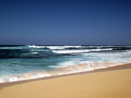
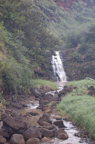
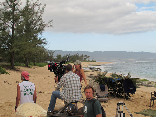
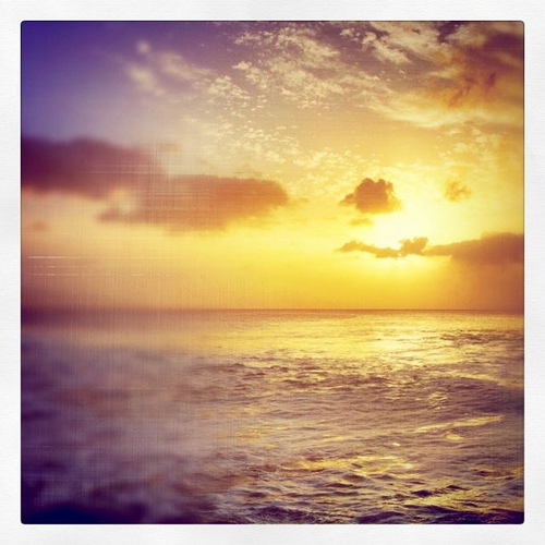
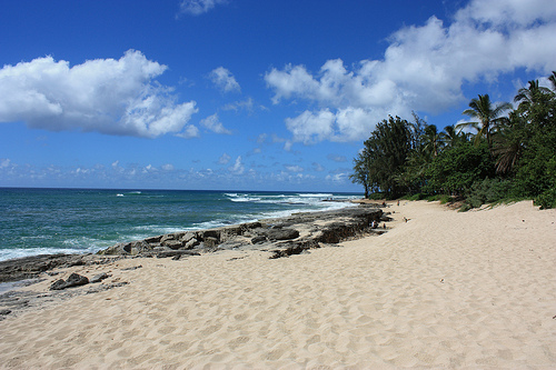
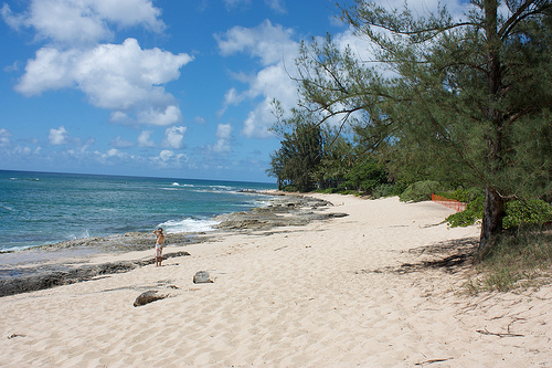
Pictures


Related Locations
Information of geographic nature is based on public data provided by geonames.org, CIA world facts book, Unesco, DBpedia and wikipedia. Weather is based on NOAA GFS.