-
You are here:
- Homepage »
- United States »
- Hawaii » Waialua

Waialua Destination Guide
Discover Waialua in United States
Waialua in the region of Hawaii with its 3,860 habitants is a town located in United States - some 4,832 mi or ( 7777 km ) West of Washington , the country's capital .
Local time in Waialua is now 08:49 PM (Saturday) . The local timezone is named " Pacific/Honolulu " with a UTC offset of -10 hours. Depending on your flexibility, these larger cities might be interesting for you: Lihue, Ma'ili, Makaha, Makaha Valley, and Mililani Town. When in this area, you might want to check out Lihue . We found some clip posted online . Scroll down to see the most favourite one or select the video collection in the navigation. Are you looking for some initial hints on what might be interesting in Waialua ? We have collected some references on our attractions page.
Videos
Sport Fishing Hawaii: Meet Cpt. Mark and the Grandslam Charter boat
sport-fishing-hawaii.com Charter fishing in Hawaii offers an experience of a lifetime. North Shore Sportfishing LLC with Captain Mark on the GrandSlam out of Haleiwa harbor on the North Shore of Oahu ..
Hawaii Charter Fishing: Deep Sea on the Grandslam Oahu
sport-fishing-hawaii.com Charter fishing in Hawaii offers an experience of a lifetime. North Shore Sportfishing LLC out of Haleiwa harbor on the North Shore of Oahu offers an aventure for all ages. Ov ..
Waialua Coffee & Cocoa Plantation Dole - Cocoa Fields
alohafromoahu.com Tour of the Waialua Cocoa Fields operated by the Waialua Coffee and Cocoa Estate and Dole. ..
Albert Grande, the Pizza Promoter, Pizza Therapy Video
pizzatherapy.com Pizza Therapy is all about promoting pizza. You can learn to make pizza and dough. Discover some of the best pizza in the world. This video was recorded on the North Shore of Oahu. Pi ..
Videos provided by Youtube are under the copyright of their owners.
Interesting facts about this location
Mokulēia, Hawaii
Mokulēʻia is a North Shore community and census-designated place (CDP) in the Waialua District on the island of Oʻahu, City & County of Honolulu, Hawaiʻi, United States. Mokulēʻia means "isle (of) abundance" in Hawaiian. As of the 2010 Census, the CDP had a population of 1,811. Features of interest here include Mokulēʻia Beach, Mokulēʻia Polo Field, and Dillingham Airfield located west of the town.
Located at 21.58 -158.16 (Lat./Long.); Less than 3 km away
Anahulu River
The Anahulu River (also called Anahulu Stream) is the longest watercourse on the island of O'ahu in the U.S. state of Hawai'i. It is 7.1 miles long.
Located at 21.59 -158.10 (Lat./Long.); Less than 3 km away
Haleiwa Fighter Strip
Haleiwa Fighter Strip was a military airfield located on Oahu, Hawaii. It was used as part of the island's defense in World War II.
Located at 21.60 -158.10 (Lat./Long.); Less than 4 km away
Dillingham Airfield
Dillingham Airfield is a public and military use airport located two nautical miles west of the central business district of Mokulēʻia, in Honolulu County on the North Shore of Oʻahu in the U.S. state of Hawaii. It is operated by the Hawaii Department of Transportation under a 25-year lease from the United States Army. The airport is primarily used for gliding and sky diving operations. Military operations consist largely of night operations for night vision device training.
Located at 21.58 -158.20 (Lat./Long.); Less than 7 km away
Hawaii Air National Guard
The Hawaii Air National Guard (HI ANG) is the air force militia of the State of Hawaii, United States of America. It is, along with the Hawaii Army National Guard, an element of the Hawaii National Guard. As state militia units, the units in the Hawaii Air National Guard are not in the normal United States Air Force chain of command.
Located at 21.51 -158.14 (Lat./Long.); Less than 8 km away
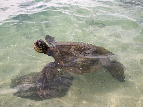
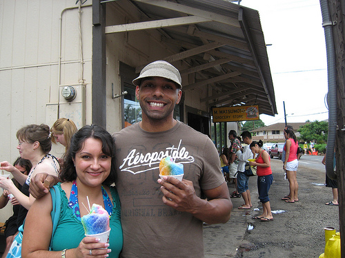
Pictures


Related Locations
Information of geographic nature is based on public data provided by geonames.org, CIA world facts book, Unesco, DBpedia and wikipedia. Weather is based on NOAA GFS.