-
You are here:
- Homepage »
- United Kingdom »
- England » Chale

Chale Destination Guide
Explore Chale in United Kingdom
Chale in the region of England is a town in United Kingdom - some 82 mi or ( 131 km ) South-West of London , the country's capital city .
Current time in Chale is now 05:00 PM (Thursday) . The local timezone is named " Europe/London " with a UTC offset of 0 hours. Depending on the availability of means of transportation, these more prominent locations might be interesting for you: Ventnor, Southampton, Shanklin, Shalfleet, and Sandown. Since you are here already, make sure to check out Ventnor . We saw some video on the web . Scroll down to see the most favourite one or select the video collection in the navigation. Where to go and what to see in Chale ? We have collected some references on our attractions page.
Videos
Trip to Isle of Wight
Wow-this is as good as it gets...!! ..
3G swing- Kingswood
'I got it all on video' Telferscot teachers have a go on this scary swing ..
Undercliff Glen
Caravan park and self catering apartments overlooking the sea in St Lawrence, near Ventnor, Isle of Wight. www.undercliffglencaravanpark.co.uk ..
rubbish rubbish rubbish
the rubbish collectors at Blackgang Chine ..
Videos provided by Youtube are under the copyright of their owners.
Interesting facts about this location
St. Catherine's Down
St. Catherine's Down is a chalk down on the Isle of Wight. It is located close to St Catherine's Point, the southernmost point on the island, and rises to 240 metres at its highest point, between the towns of Niton and Chale. At the peak of the hill is St. Catherine's Oratory, locally known as the "Pepperpot", a stone lighthouse built in the 14th century by Walter De Godeton. It is the second oldest lighthouse in the British Islands. Only the Roman-built lighthouse at Dover is older.
Located at 50.59 -1.30 (Lat./Long.); Less than 1 km away
St. Catherine's Oratory
St. Catherine's Oratory is a medieval lighthouse on St. Catherine's Down near the southern coast of the Isle of Wight, the Back of the Wight. It was built by Lord of Chale Walter de Godeton (sometimes spelled "Goditon") as an act of penance for plundering wine from the wreck of St. Marie of Bayonne in Chale Bay on April 20, 1313 AD. The lighthouse tower is known locally as the "Pepperpot". The lighthouse is a stone structure 4 stories high.
Located at 50.59 -1.30 (Lat./Long.); Less than 1 km away
Knowles Farm
Knowles Farm is the name of an area of National Trust land at the southern tip of the Isle of Wight located at St. Catherine's Point. It takes its name from a nearby farm which lies outside the NT area just along the southern edge of it. The area is 170 acres in total and was acquired by the NT in 1967 using its Neptune funds. The land is an area of undercliff and is a mixture of scrub, grass downland and woodland, spread over a rough folded and unstable landscape.
Located at 50.58 -1.30 (Lat./Long.); Less than 3 km away
Chale Green
Chale Green is a hamlet on the B3399 road about a mile inland from the village of Chale on the Isle of Wight. Administratively it is part of Chale.
Located at 50.62 -1.32 (Lat./Long.); Less than 3 km away
St. Catherine's Point
St. Catherine's Point is the southernmost point on the Isle of Wight. It is located close to the village of Niton and the point where the Back of the Wight changes to the Undercliff of Ventnor. On nearby St. Catherine's Down is St. Catherine's Oratory, locally known as the "Pepperpot", a stone lighthouse built in the 1323 by Walter De Godeton. It is Britain's oldest medieval lighthouse.
Located at 50.57 -1.30 (Lat./Long.); Less than 3 km away
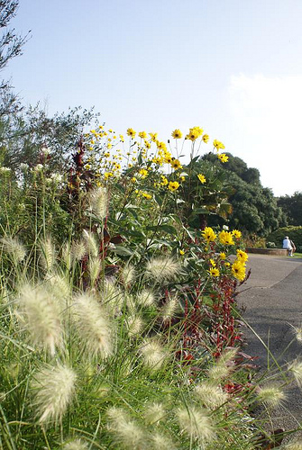
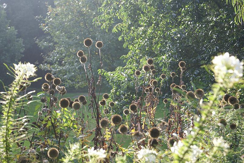
Pictures
Related Locations
Information of geographic nature is based on public data provided by geonames.org, CIA world facts book, Unesco, DBpedia and wikipedia. Weather is based on NOAA GFS.